El Cóporo
On the great road
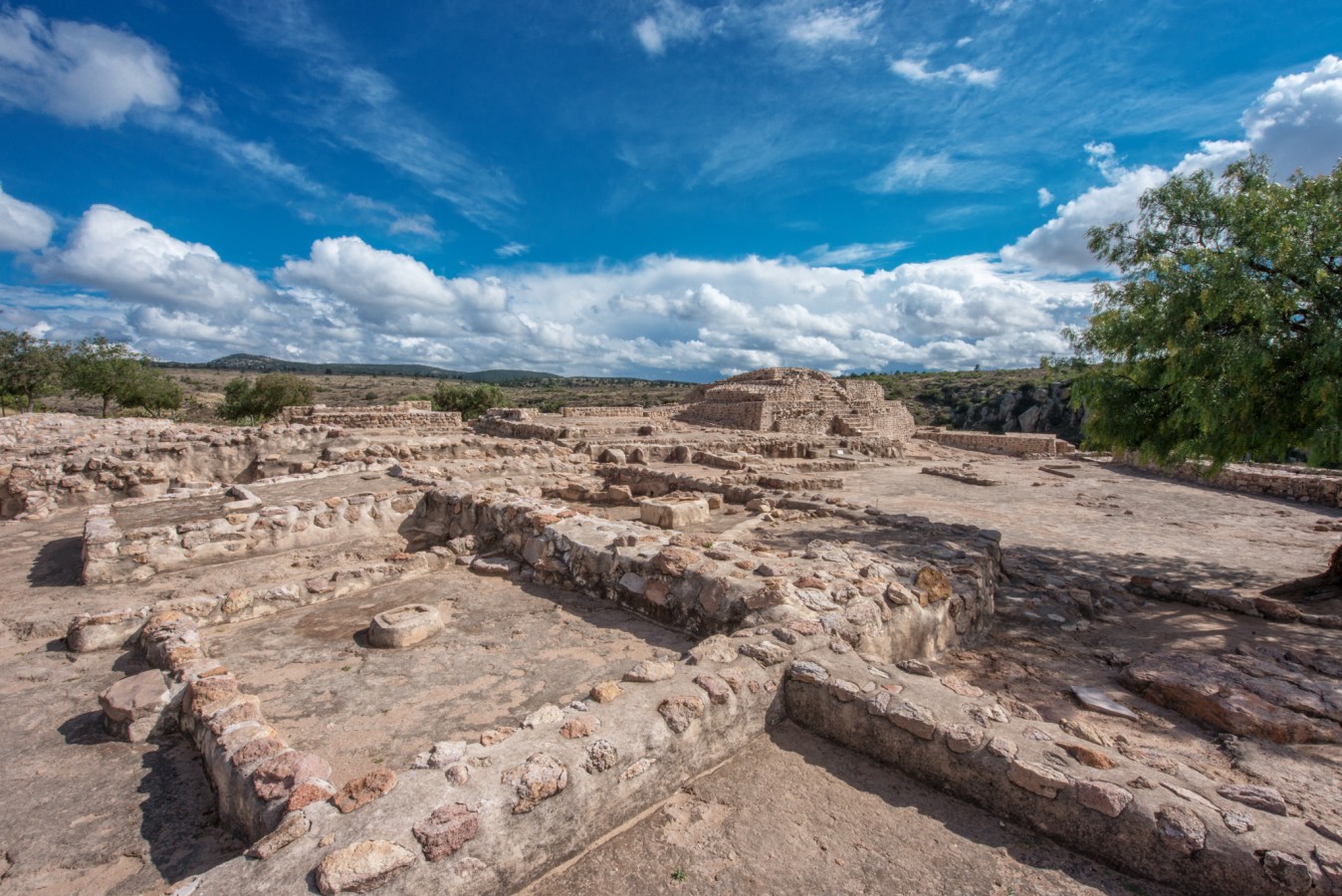
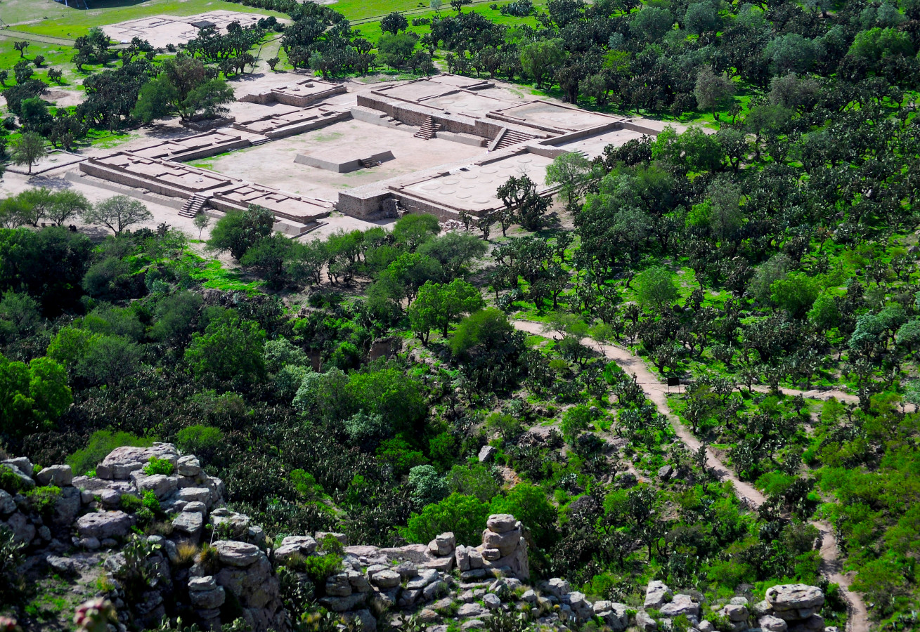
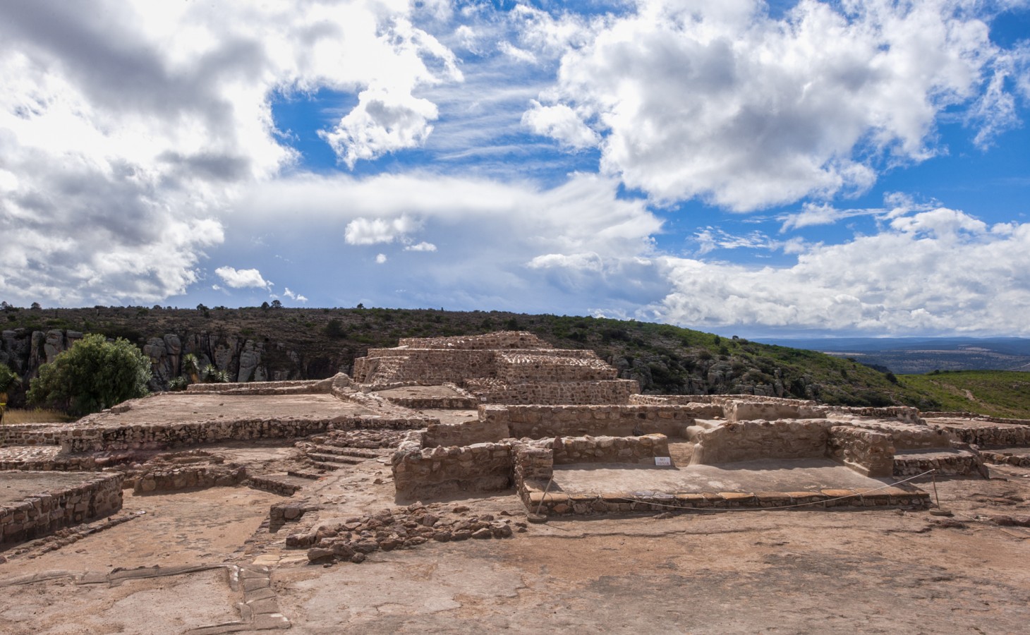
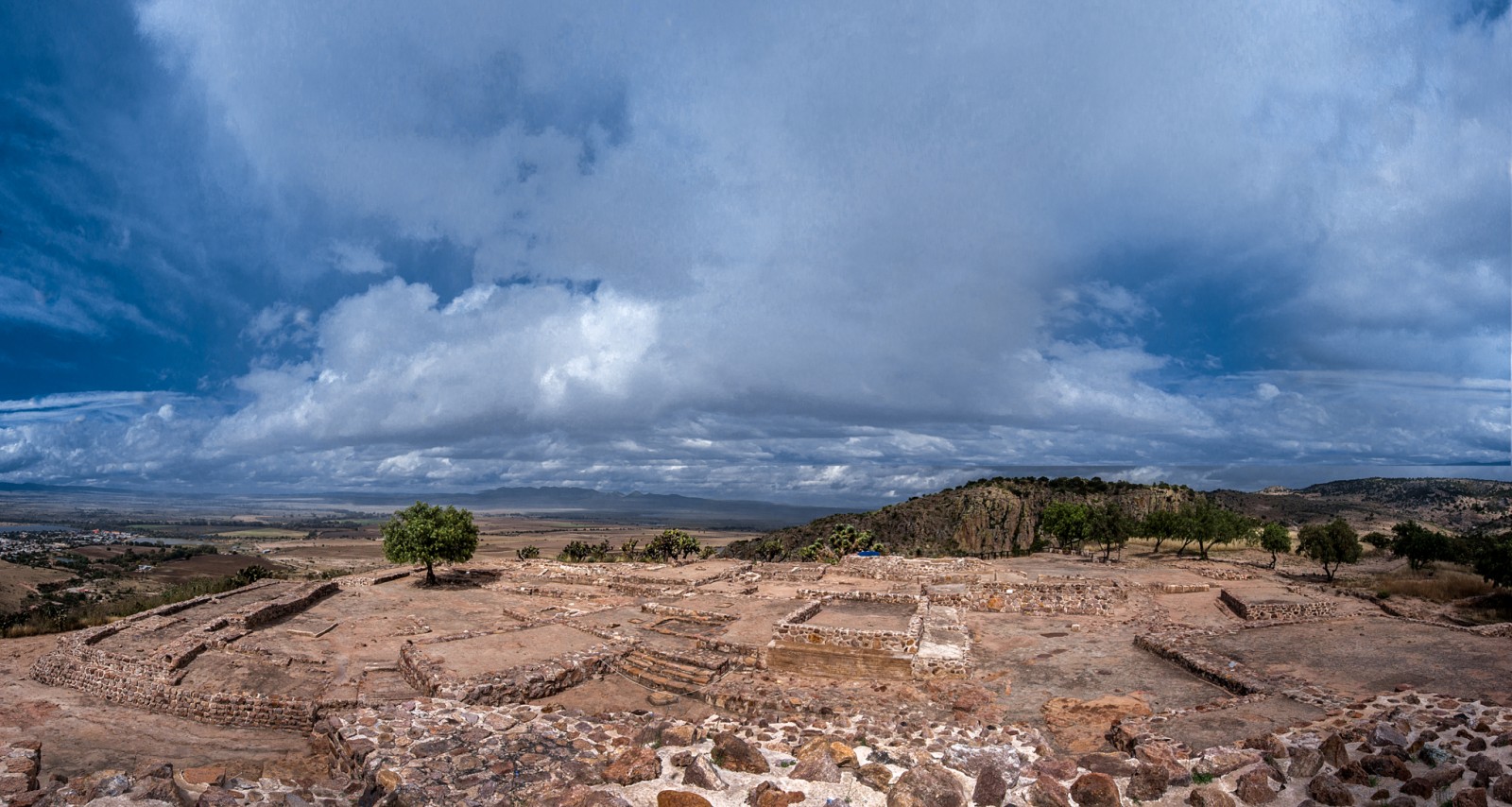
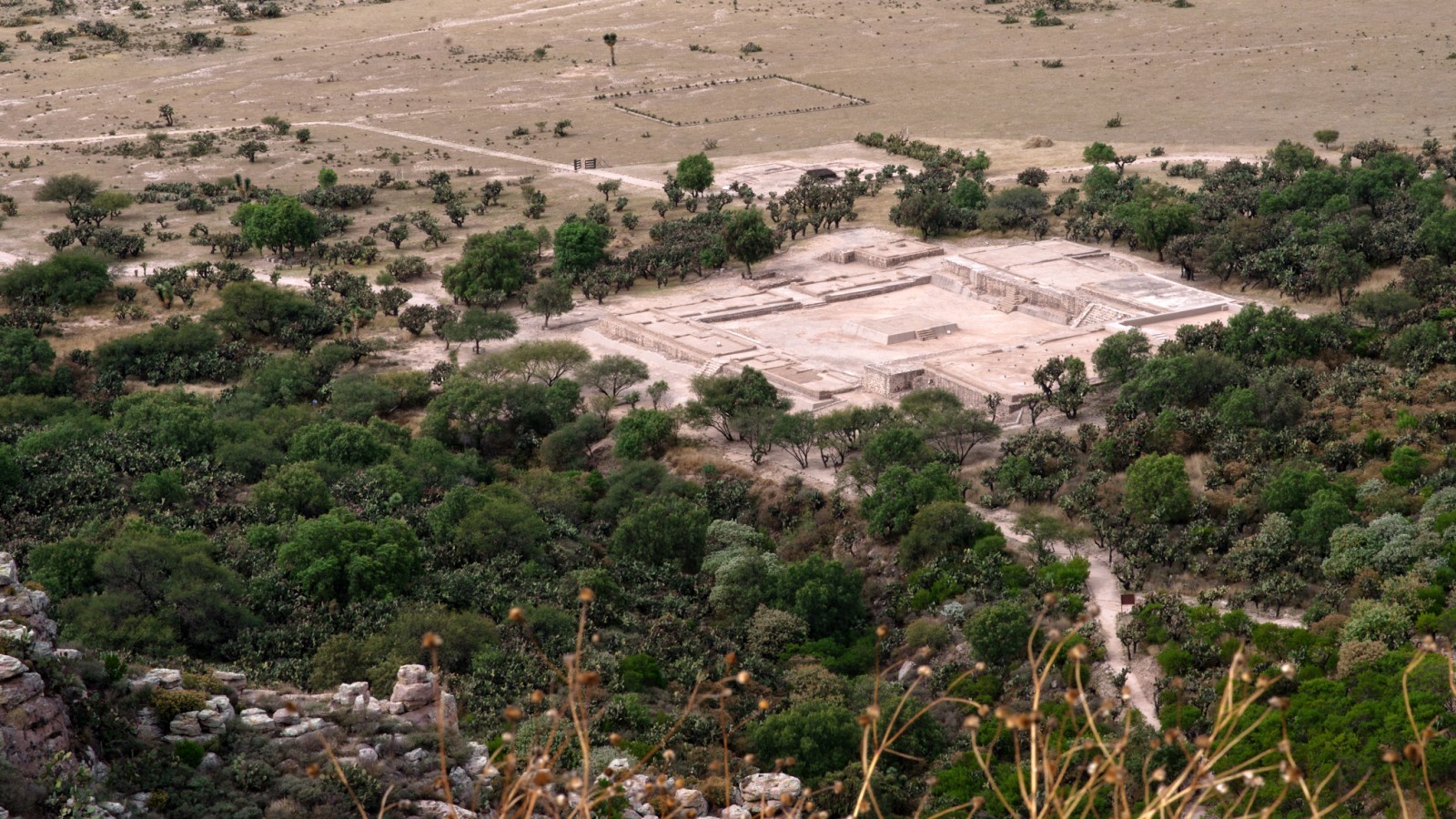
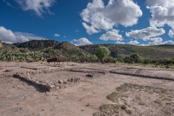
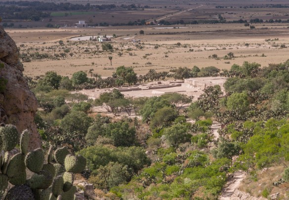
One of the most important sites in the state of Guanajuato, it developed around a hill of the same name. On the lower level, the architectural complexes were public buildings and houses, those on the hillsides were administrative and residential areas, and at the top there is a ceremonial zone.
About the site
El Cóporo's active period dates from between the years 1 and 1000 AD, reaching its peak between 400 to 600 and declining between 900 to 1000. It is located within the area of the Tunal Grande, delimited to the west by San Luis Potosí, the Jalisco Mountains, Zacatecas, Aguascalientes, and to the northeast by Guanajuato. In the sixteenth century, the Spanish named it El Cóporo (“the great road”) due to its abundance of prickly pear cacti.
The settlement’s location was decisive in its development. As well as being made up of grasslands and mountains, it is found between the Cóporo and Gotas rivers and protected by two canyons.
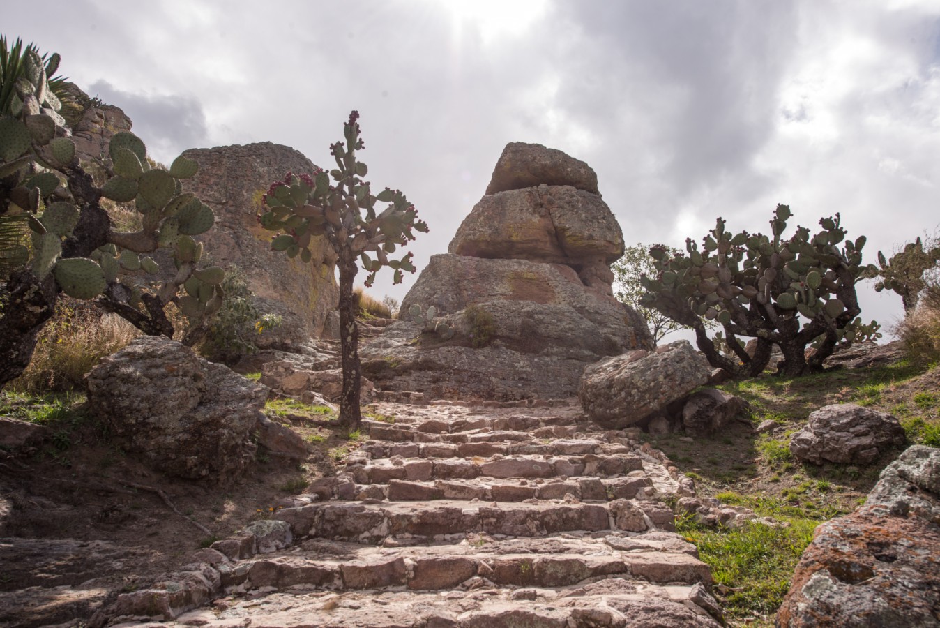
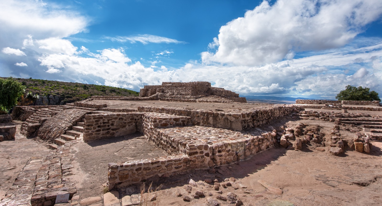
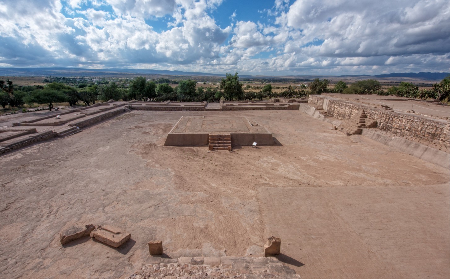
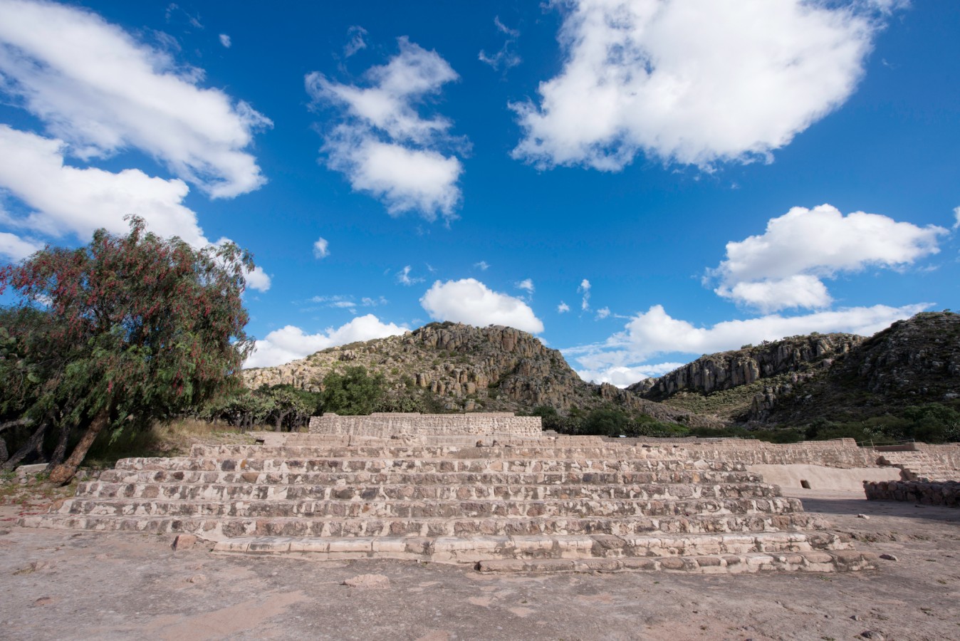
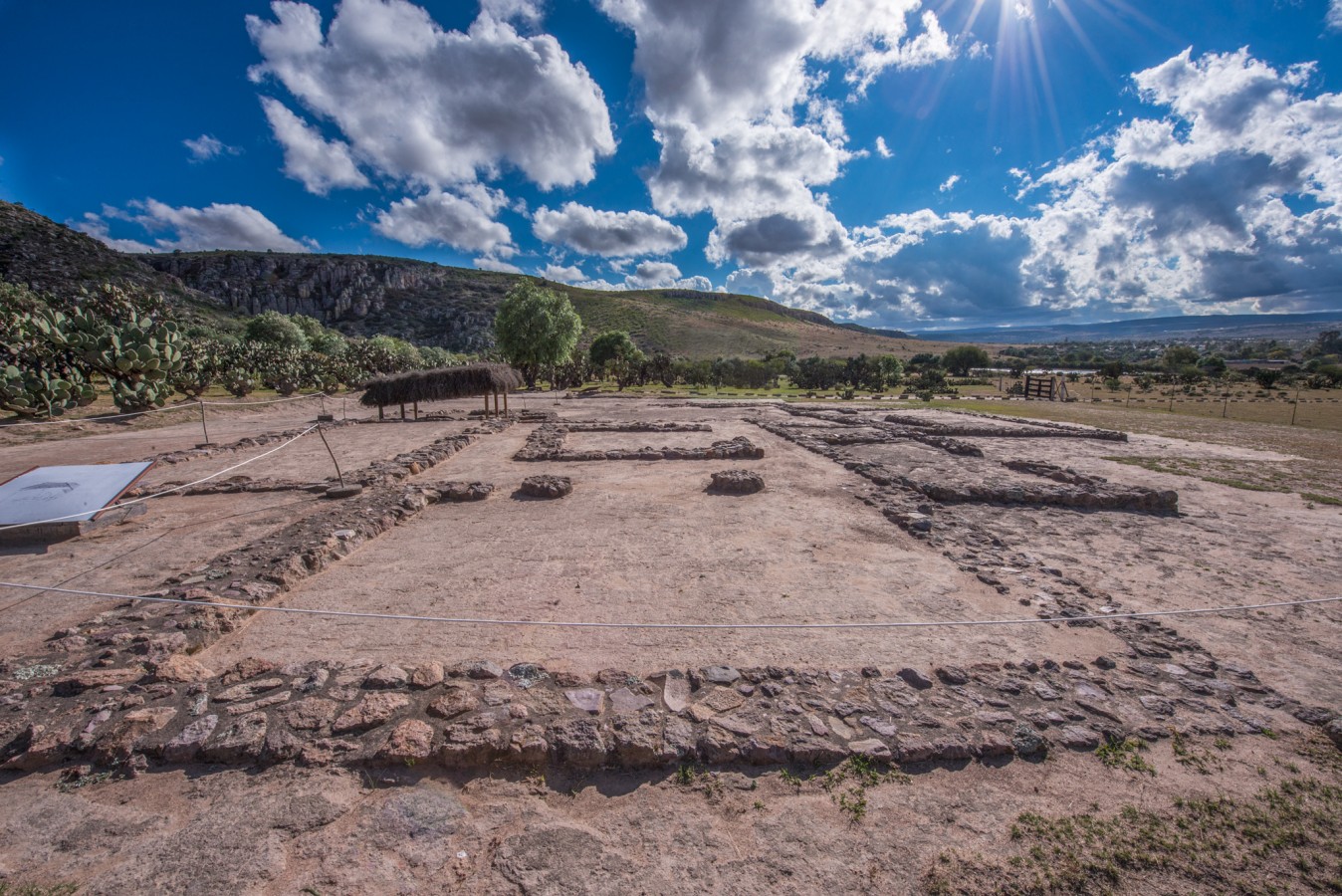
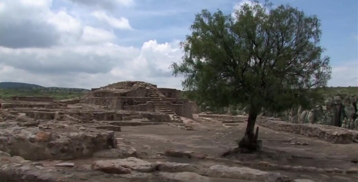
This archeological area, which is oriented towards the west, is distinguished by its earthen architecture such as its adobe walls, flat mud roofs and wattle and daub structures. The topography was exploited in building the structures, using rocky outcrops for the structures and staircases. The ground was leveled using a system of terraces in order to achieve the stability necessary for building.
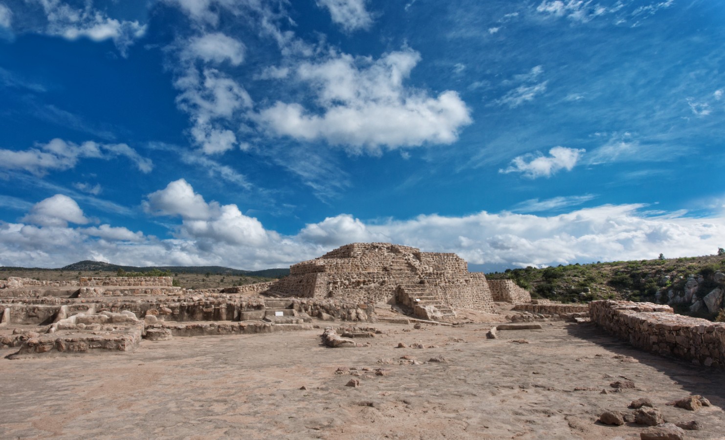
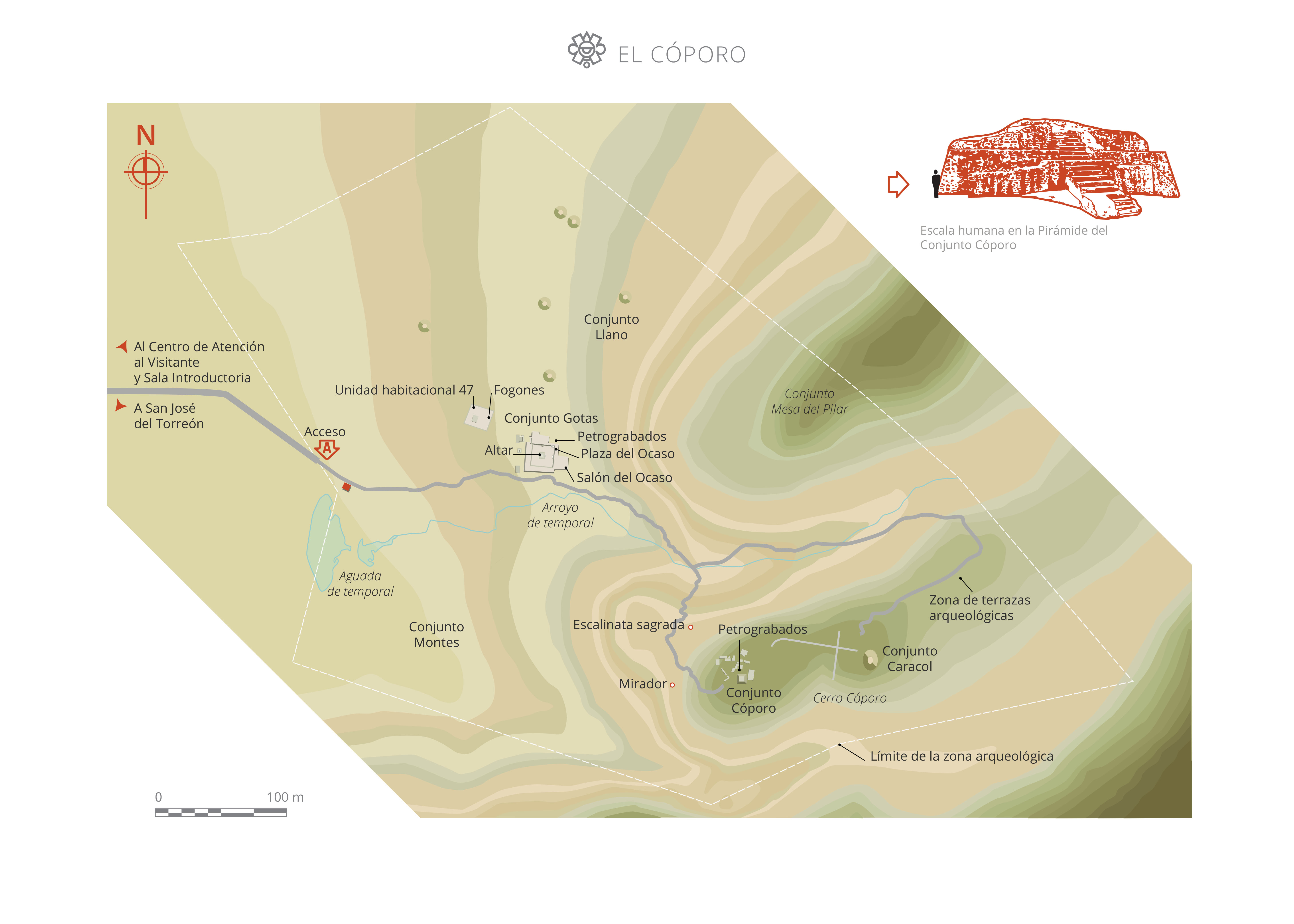
The Llano Complex is located at the foot of the hill in the lower section, an area which was surrounded by rooms. Here, two adobe fireplaces, milling instruments and pots were found. At the peak, the ceremonial Cóporo Complex is located; the natural surroundings were exploited to make this a sacred space. Finally, in the vicinity of the hill is the Gotas Complex, where archeologists found a shrine.
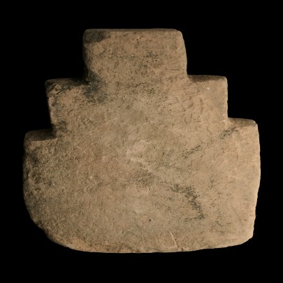
Most notably in the staircases, petroglyphs are visible with geometric designs and animal symbols. Circular spirals (linked to water) and quadrangular spirals (linked to fire) both appear frequently. The petroglyph in the Cóporo Complex is also very noteworthy. It consists of a triangular spiral pointing to the north, which suggests that the settlers carefully observed the movements of the sky.
Map
Did you know...
- This is the only site belonging to the Tunal Grande culture which is open to the public.
- Accompanied by the Purépecha people who provided names for the places they encountered, the Spanish decided to give the name "El Cóporo" to this area where groups of Chichimeca and Huachichile people lived, based on the hill of the same name.
An expert point of view

Ana Ruth Villalpando Alba
Centro INAH Guanajuato
Practical information
Temporarily closed
Tuesday to Sunday from 10:00 to 17:00 hrs. Last entry 16:00 hrs. Maximum capacity 10 people every hour, 70 people per day.
$75.00 pesos
Se localiza en el municipio de Ocampo, a 60 km de León, Guanajuato.
From the city of Ocampo, take the state highway to León, Guanajuato. The exit for El Torreón is approximately 13 km further on, to the left and the site is 6 km ahead.
Services
-
+52 (473) 733 0857
-
This email address is being protected from spambots. You need JavaScript enabled to view it.
Directory
Responsable
Ana Ruth Villalpando Alva
This email address is being protected from spambots. You need JavaScript enabled to view it.
+52 (473) 733 0858, ext. 208003


