Quiahuiztlán
Place of rain
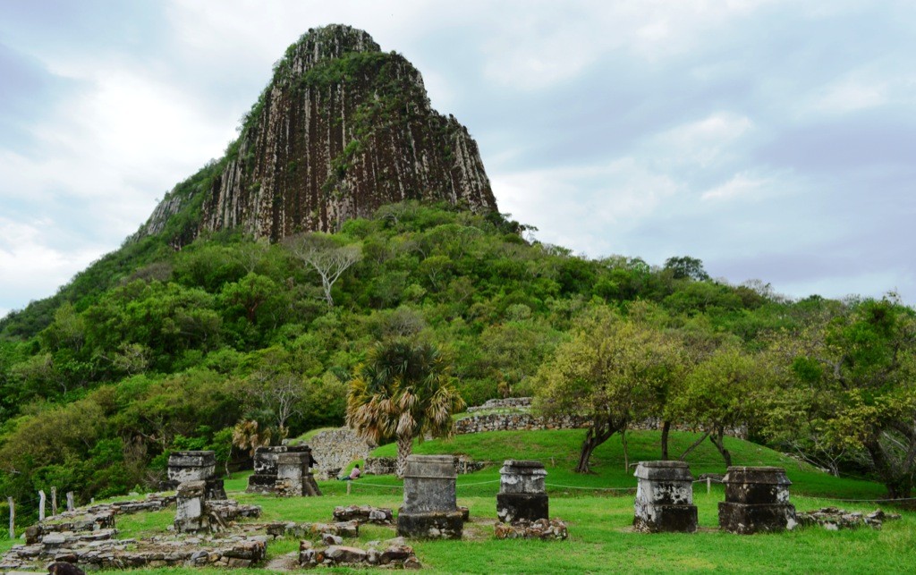
A Totonac settlement (900-1521 AD), with a marvelous view of the coastal plain. It came under the control of the Toltecs first and later the Mexica. In turn a city, a cemetery (78 tombs were found) and a fortress. This was where Hernán Cortés formed an alliance in order to conquer the Tenochca empire.
About the site
The settlement, on the slopes of the Cerro Bernal, nearly 20 miles north of Cempoala, is in the municipality of Actopan. It had ideal land for farming, forested hills which were a source of wood, and animals for hunting.
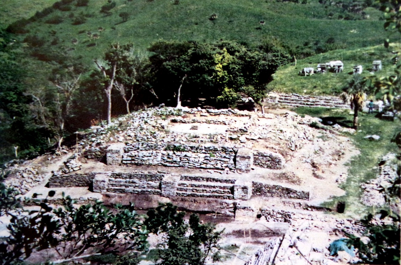
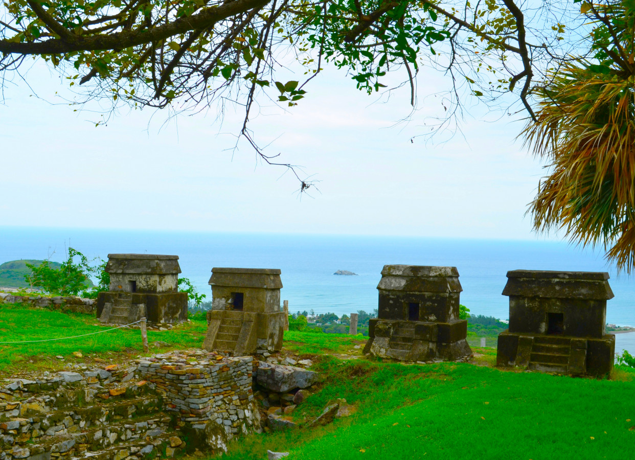
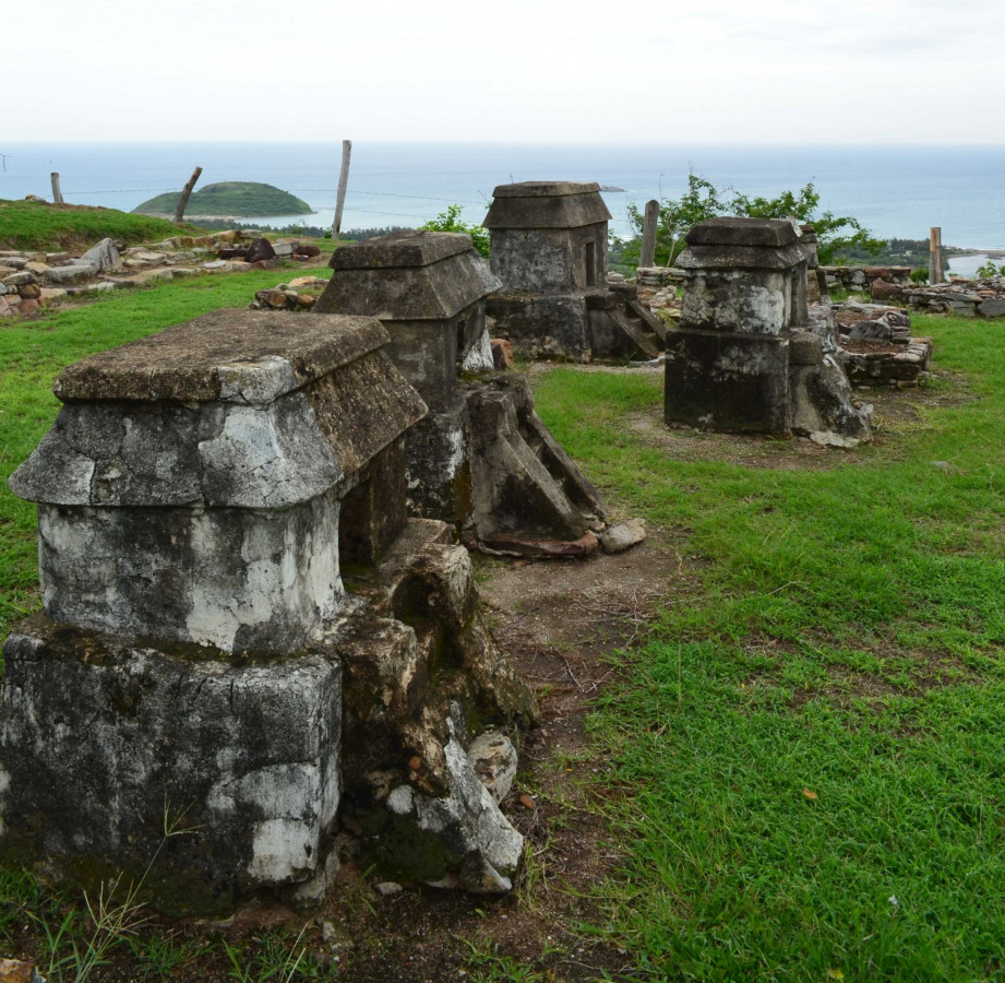
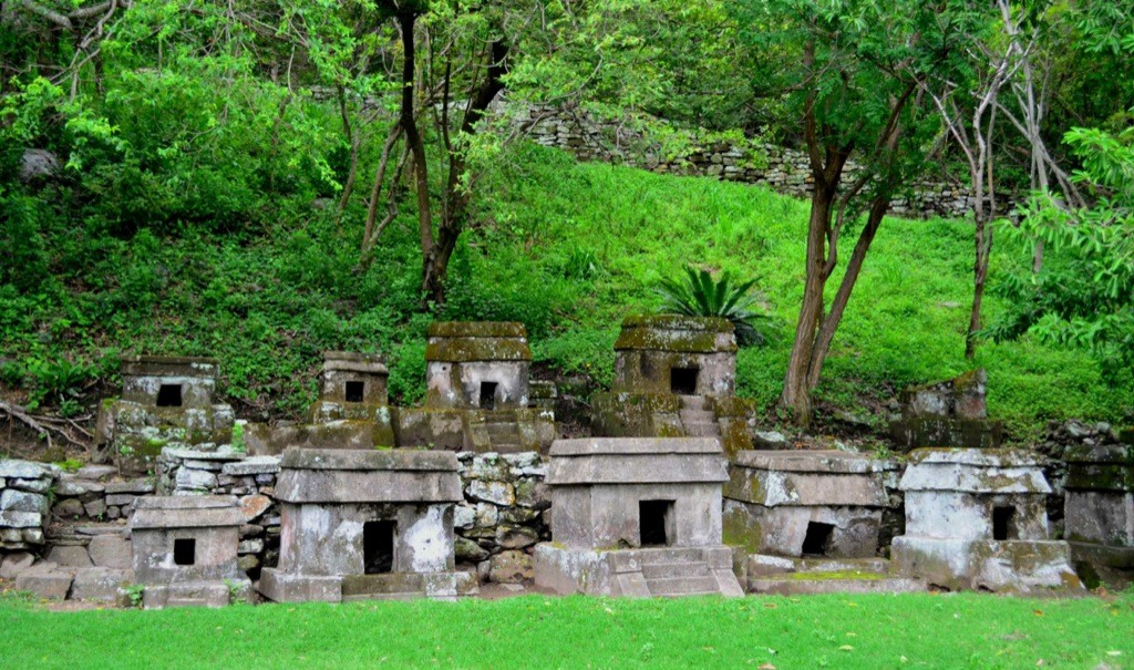
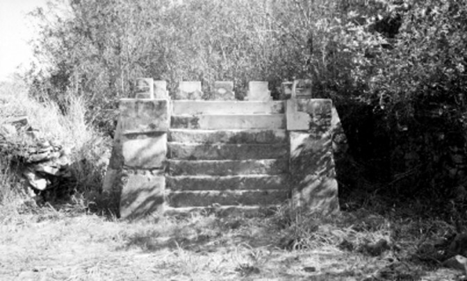
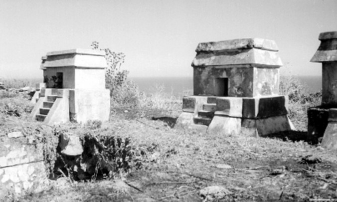
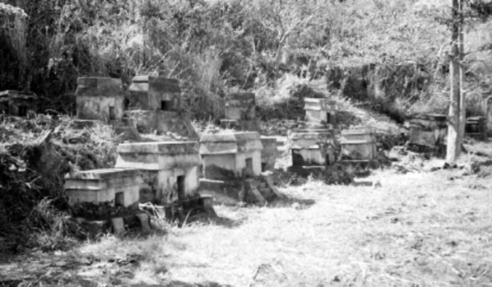
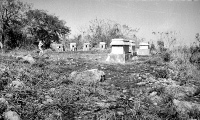
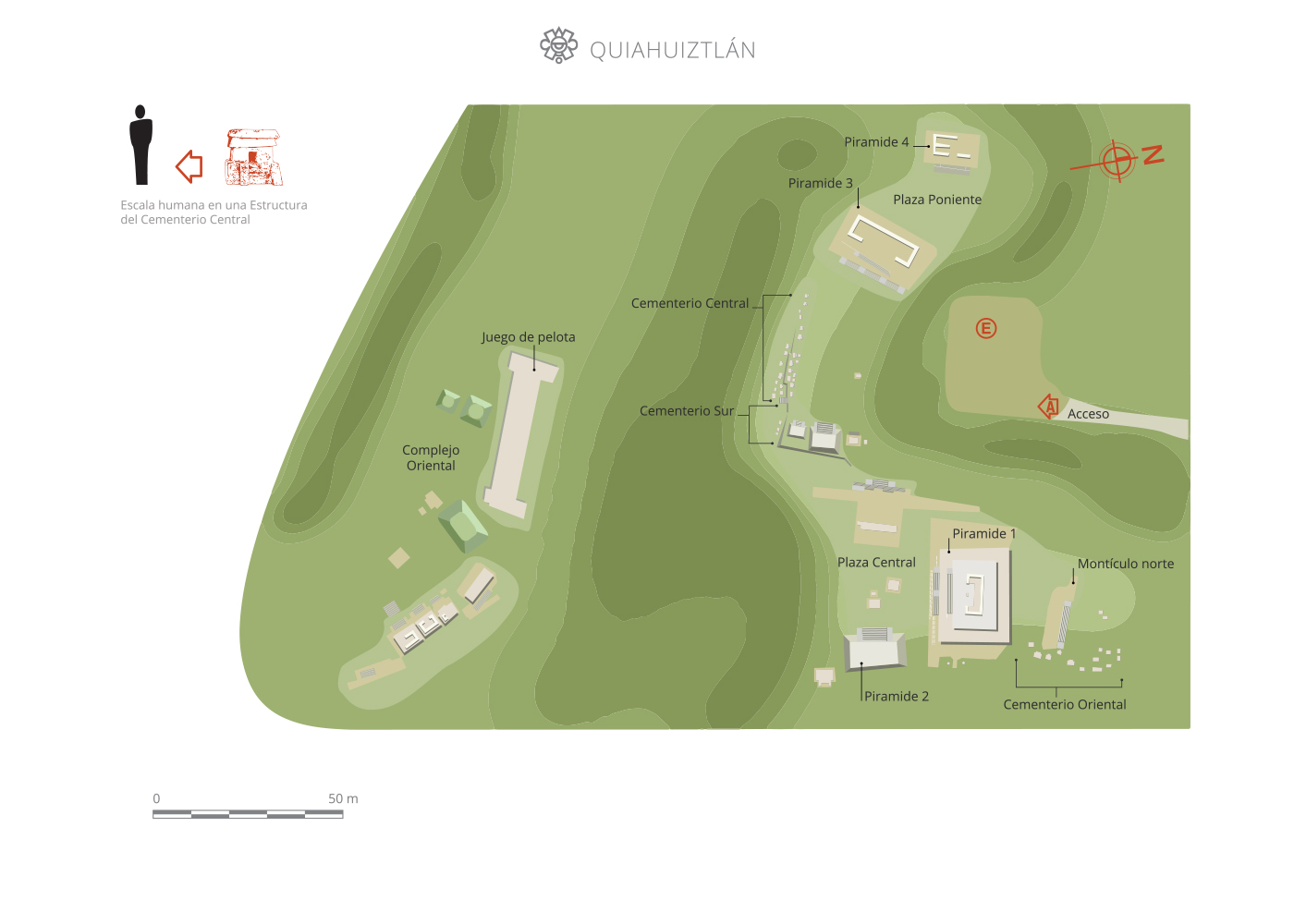
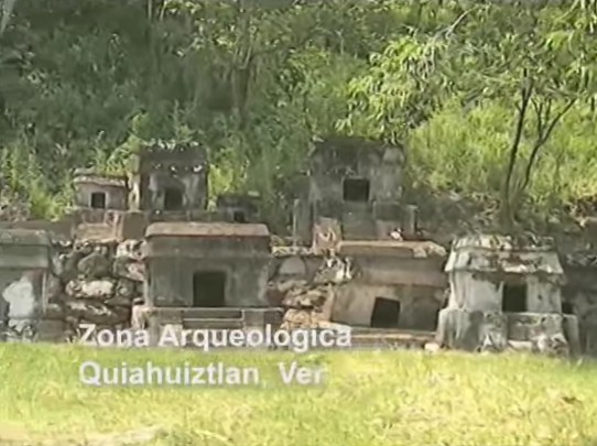
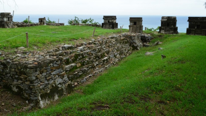
It is probable that Quiahuiztlan served as a fortress, although it had few buildings of a military nature. Its funerary architecture is notable, consisting of a cemetery divided into three groups: center, east and a complex of tombs in the south. Despite its location on the slopes of the hill, the majority of its people lived in the south, west and north zones. It should be noted that the northern sector was where the religious, civil and funerary buildings were erected.
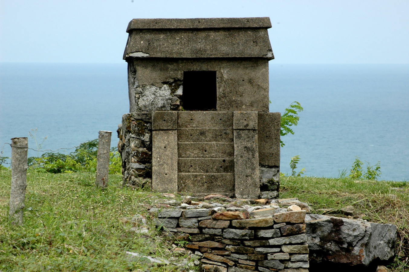
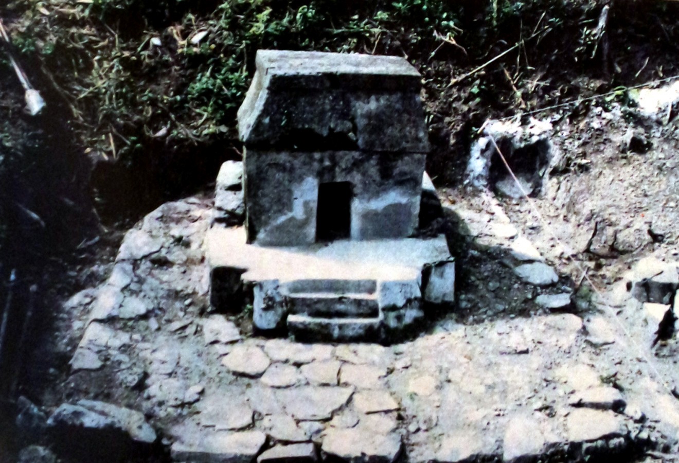
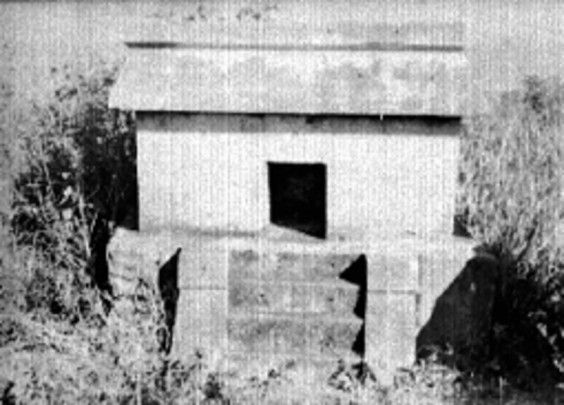
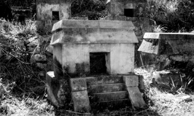
The eastern cemetery had 28 tombs laid out in rows without any apparent order, while the central cemetery had 36 tombs organized in two irregular rows and separated by a retaining wall. The tombs in the south on the other hand had four larger buildings placed in line. Sepulchers were built from slabs of sand stucco, limestone obtained from the cooking of shells and mollusks, with the following features: a plinth, a funerary chamber, a shrine, a roof and steps.
The earliest settlement of this site began in the Epiclassic or Late Classic period when Totonac settlements lost their power as a result of the decline of Teotihuacan. Quiahuiztlan suffered two invasions in the Postclassic, first by the Toltecs and then by the Mexica, to whom they paid tribute until the arrival of the Spanish. This was the place where the alliance between the Totonac peoples and the Spanish was formed in order to attack Tenochtitlan.
Map
Practical information
Monday to Sunday from 08:00 to 17:00 hrs. Last entry 16:00 hrs.
$75.00 pesos
Se localiza en la faja costera de Veracruz sobre el cerro de los Metates en el municipio de Actopan.
From the city of Veracruz take Federal Highway 180 in the direction of Poza Rica. Follow the Farallón-Tinajitas turn off towards the town of Los Metates.
Services
-
+52 (229) 934 9981
-
This email address is being protected from spambots. You need JavaScript enabled to view it.
Directory
Responsable Regional
Jaime Cortés Hernández
This email address is being protected from spambots. You need JavaScript enabled to view it.
+52 (229) 934 9981 y 934 5282


