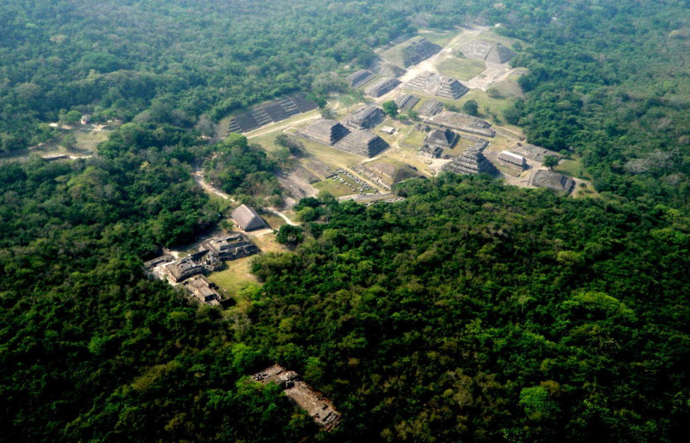
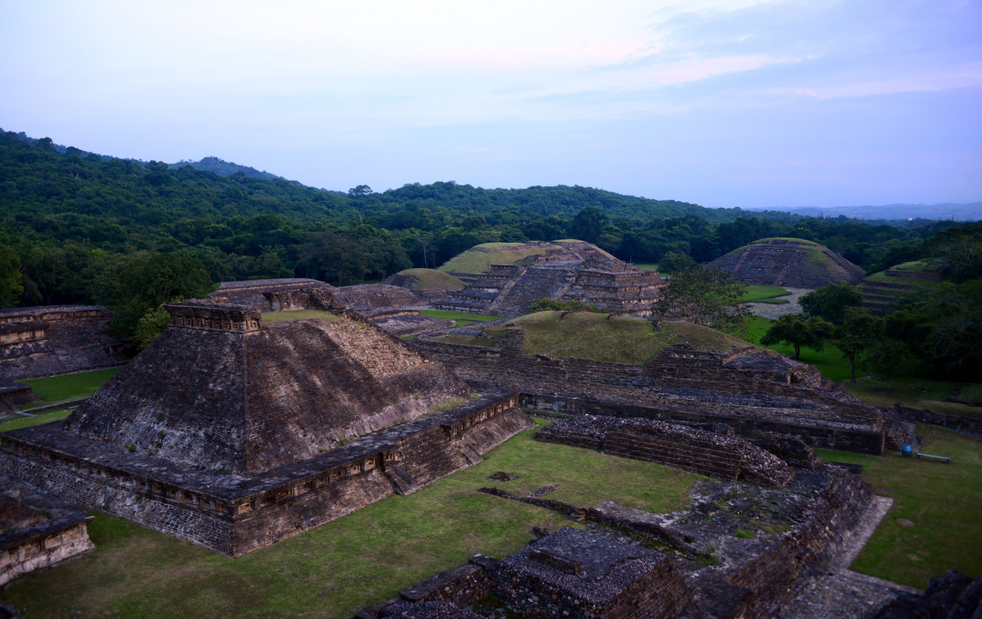
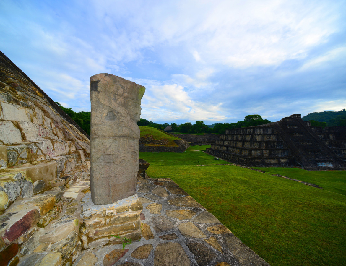
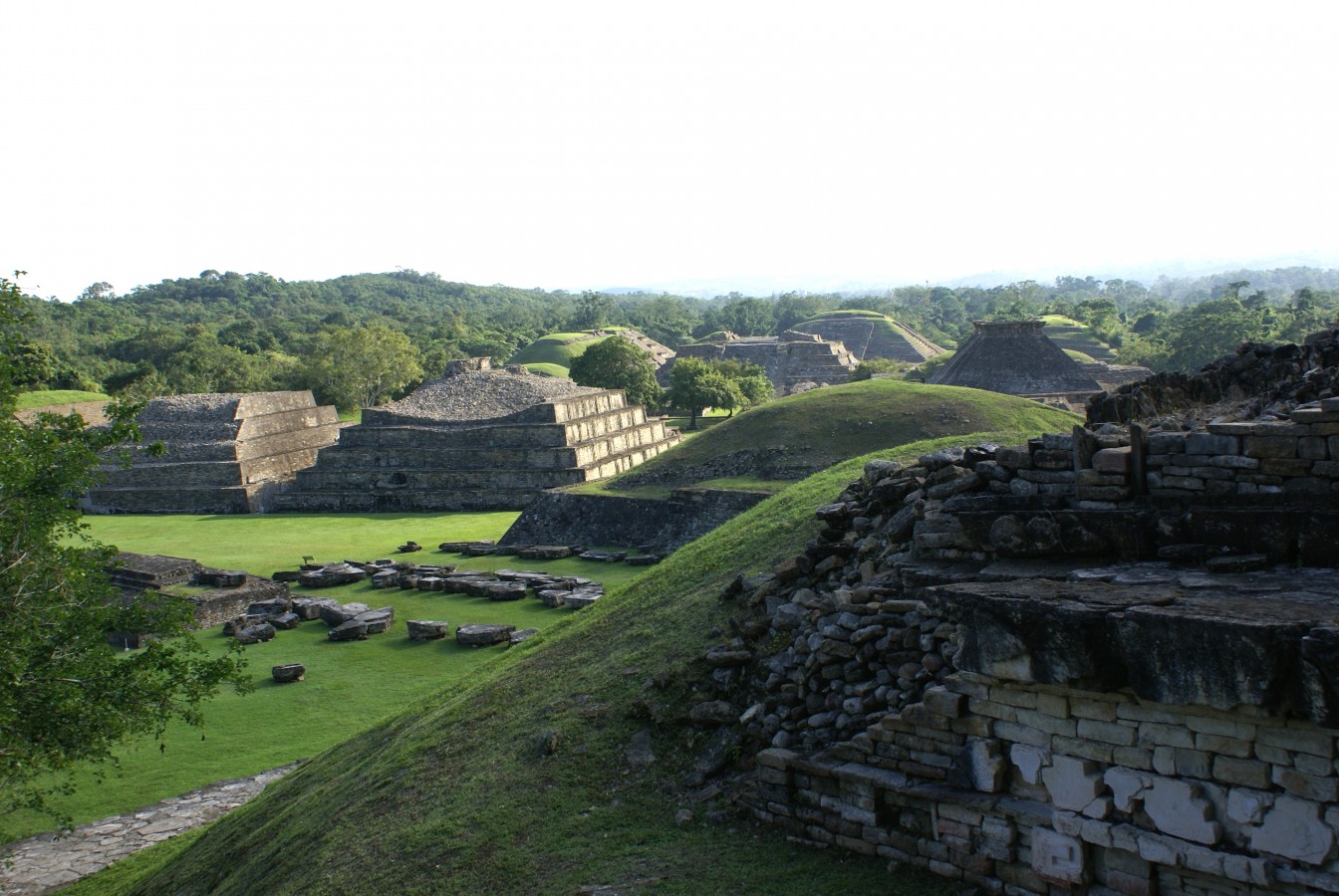
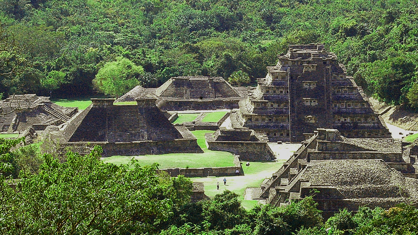
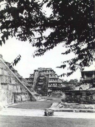
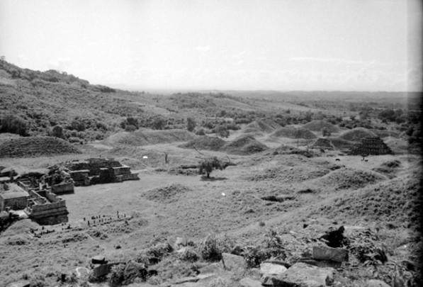
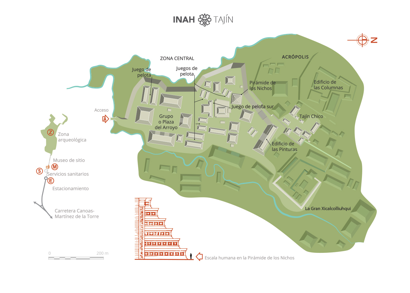
Listed as a UNESCO World Heritage Site in 1992, El Tajín was under the tutelage of the god Tajín, meaning “thunder” or “powerful smoke” in the Totonac language. This figure’s links to severe meteorological phenomena led him to being identified with the “Hurricane God” and the location became known as the city of the Hurricane God.
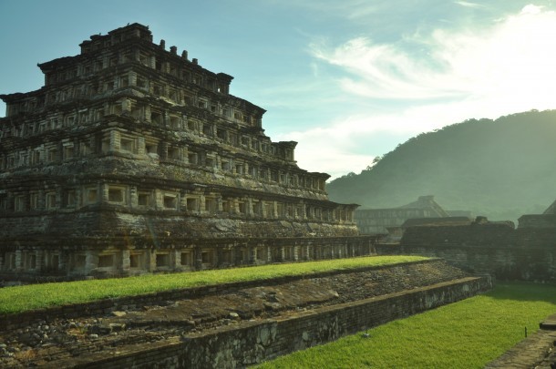
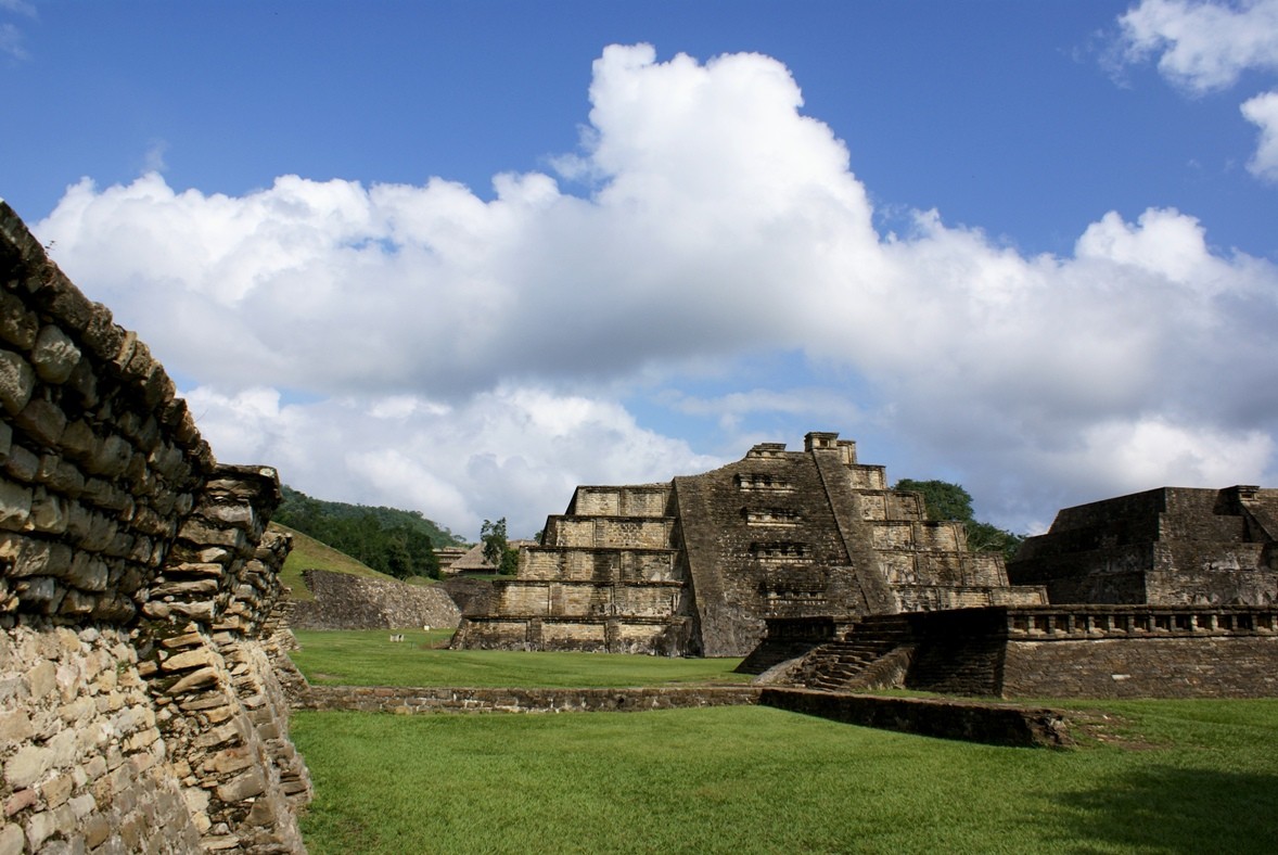
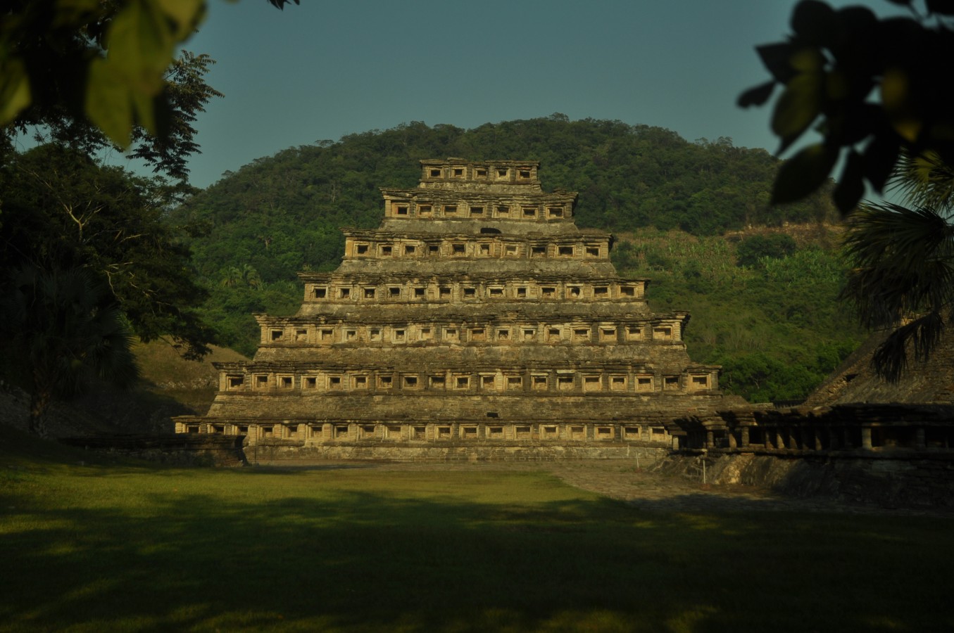
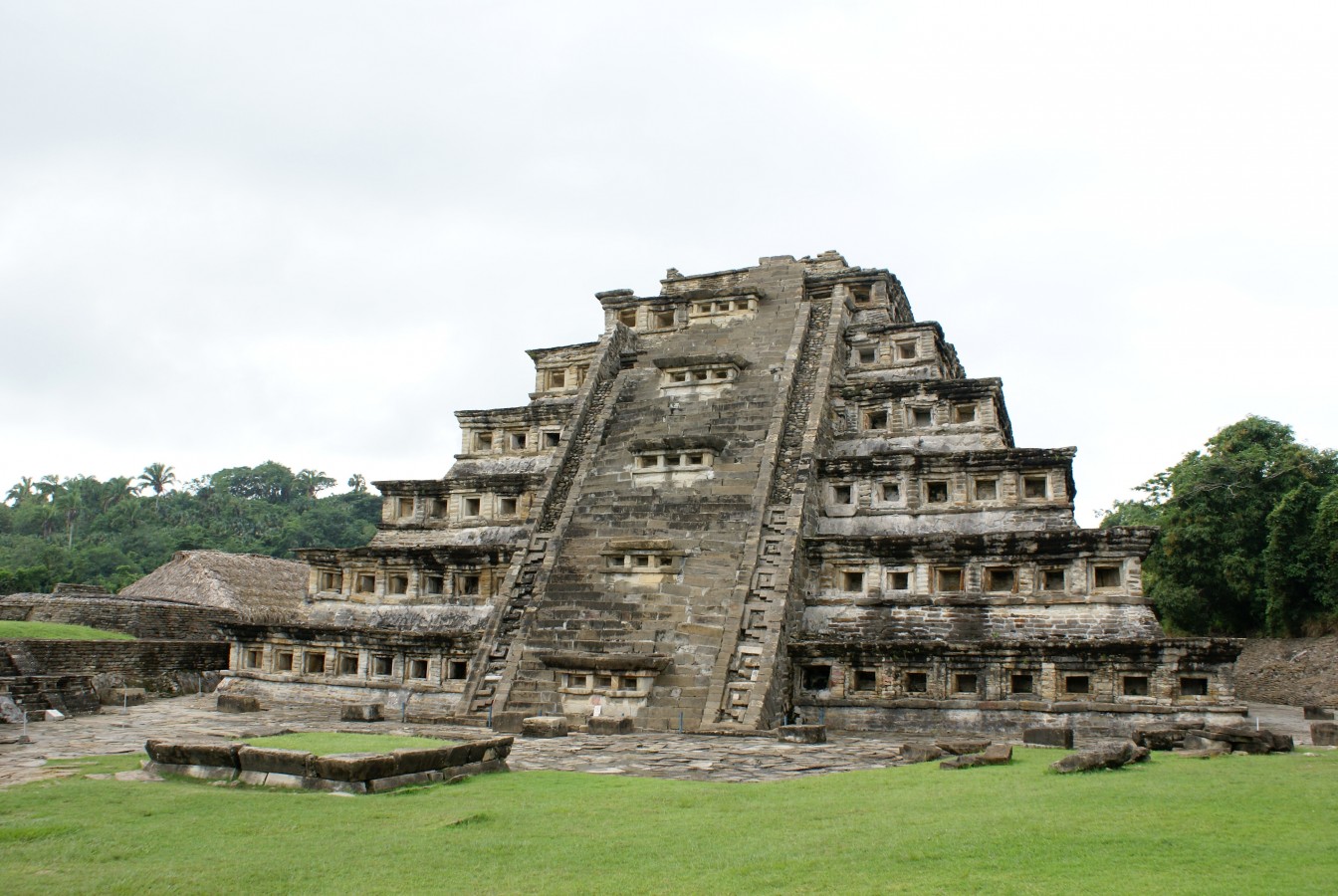
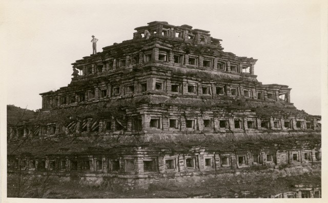
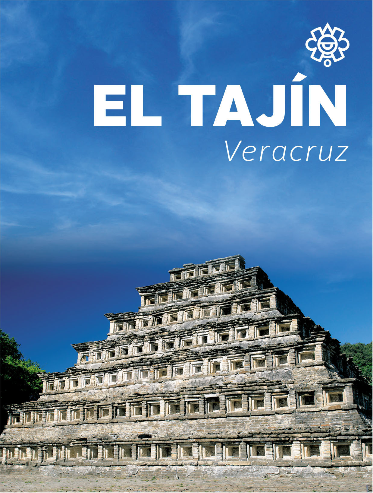
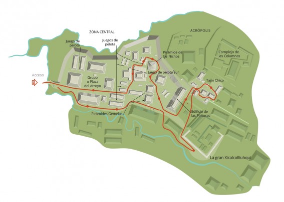
This sacred center on the Gulf Coast reached its peak during the Postclassic (800-1100 AD), when more than five iconic buildings were erected, each one in harmony with its immediate backdrop, the Cerro del Oriente hill. One of the most important of these structures is the Pirámide de los Nichos ("Pyramid of the Niches"), where a solar event takes place from March 17 to 25 as part of the “quarter-year” cycle (which occurs in March, June, September and December). At that moment the sun’s rays can be observed descending the building, illuminating everything, while the rest of the site remains shrouded in darkness.
In around the year 1150 AD, during a time of climate change known as the Medieval Warm Period, a flood caused the city to be abandoned.
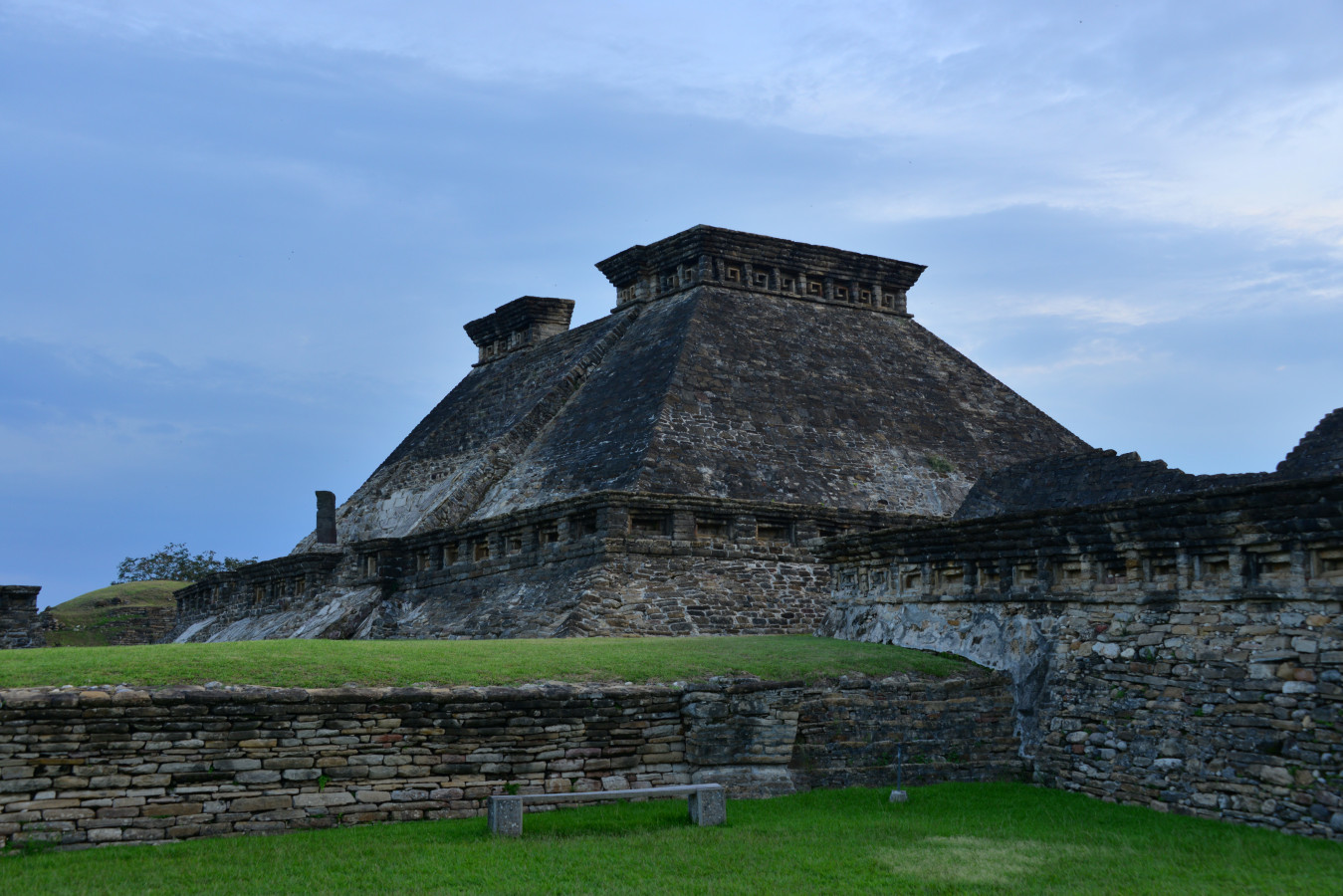
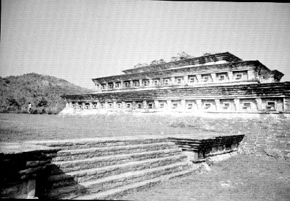
El Tajín’s architecture, in common with almost all of its sculptural forms, represents duality. One example is the “talud-tablero” (slope-panel) construction style, with a central niche and a cornice. The result is an image that will look the same whether seen front on or upside down, with the niche or the shell motif in the center. This is also a symbol of (balanced) movement. It would seem that the ancient inhabitants of El Tajín wished to leave a message within these mirror images: movement representing harmony and balance, mainly between man and nature.
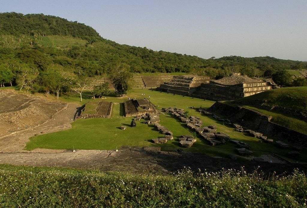
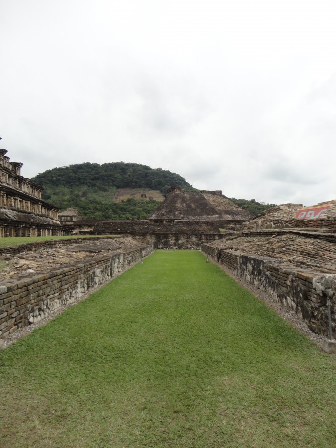
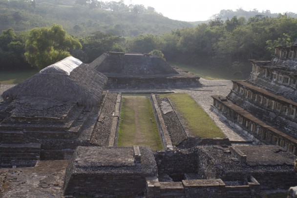
Twenty-one ballgame courts have so far been found at El Tajín. We can distinguish two types of court, based on the scenes depicted on their walls: the competitive game, and the ritualistic version played as part of a divine invocation for balance and continued sustenance for humankind. The complete ritual is portrayed on the South Ballcourt, depicting the petition to the gods and also the offering made to them; this ceremony consisted of giving blood—man’s most treasured possession—to the four winds. This act of respect for nature took place on very special dates or at changes of era.
Two principal gods watched over the ancient city, and these also represent duality: Quetzalcoatl, the sun god; and Tlaloc, the god of rain. This again shows the balance between the universe and life on earth, including all living beings (plants, animals, hills and springs) in the surroundings; everything had a soul, and the people would ask permission to use things, based on their belief in order and respectfulness: animals should not be hunted unless for consumption, trees only cut down to be used.
- El Tajín was discovered in 1785 when Don Diego Ruiz, an officer patrolling the area, was searching for clandestine tobacco plantations in the Papantla region.
- There were various entrances to the city from the cardinal directions, and for years these had remained hidden under the dense vegetation and earth. They were only recently discovered thanks to the use of LIDAR, a new technology that employs a scanning camera and remote sensors. A geographic information system (GIS) is used to process all the data gathered.

https://ventadeboletosenlinea.inah.gob.mx/
From Xalapa, take Federal Highway 140D, Mexico 131 and Mexico 129 in the direction of Canoas-Martinez de la Torre, Vicente Guerrero.
From Mexico City, take the Mexico-Pachuca Highway in the direction of Ecatepec de Morelos. Continue on Federal Highway 132D in the direction of Canoas-Martinez de la Torre.
-
+52 (784) 842 83 54
-
This email address is being protected from spambots. You need JavaScript enabled to view it.
-
FACEBOOK
-
TWITTER

