Pomoná
The house of copal incense
Rich stelae, sculptures, tablets, and hieroglyphic inscriptions allow us to learn about its governors and the relations it had with other cities in the region. An independent political entity (600-800 AD), it played a vital role in the trade along the Usumacinta River.
About the site
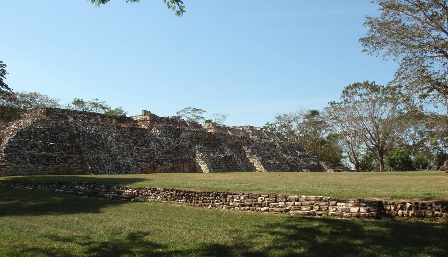
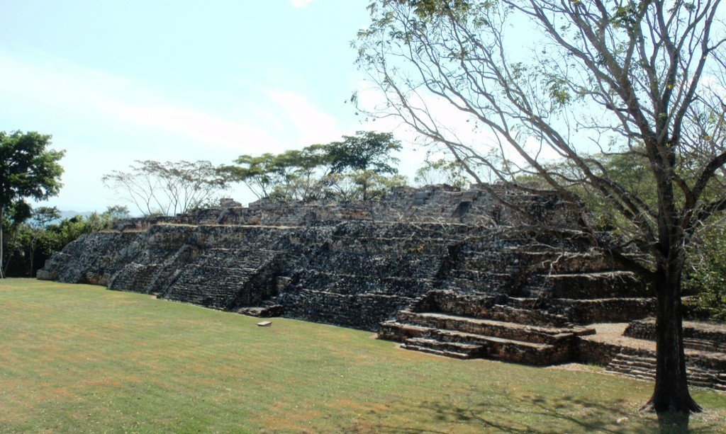
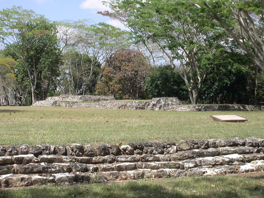
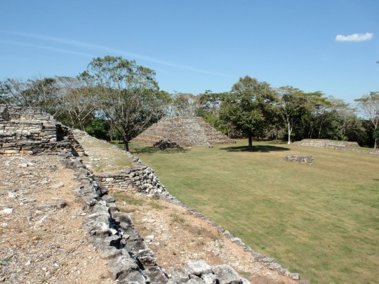
The archeological site of Pomoná—or Pakbul to give the name found in the hieroglyphs—is located in an area where mountain and plains ecosystems meet. This makes it a key site for studying the ability of the Maya to adapt and thrive, which enabled them to achieve a significant level of socio-political development in their territory in the Classic period. Pomoná is notable for its contribution to Mayan history, as can be seen from the variety of important monuments with inscriptions telling of its political relations with the great Mayan fiefdoms of the period, such as Palenque.
The status of this pre-Hispanic settlement was consolidated between 600 and 800, when it became an independent political entity, and whose location enabled it to play a dominant role in cultural exchanges between contemporary sites on the upper and lower Usumacinta. This brought with it the subservience of sites such as Panjale, Boca del Cerro and Chinikiha, and territorial wars with the kingdoms of Palenque, Piedras Negras and La Mar.
The site occupies a 470-acre strip of land identifiable by the hillocks close to the left bank of the Usumacinta River, which is where the plains of Tabasco end and the foothills of the north Chiapas uplands begin.
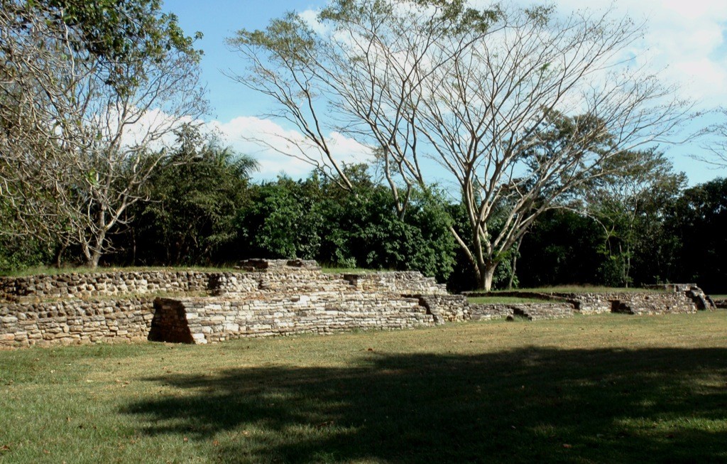
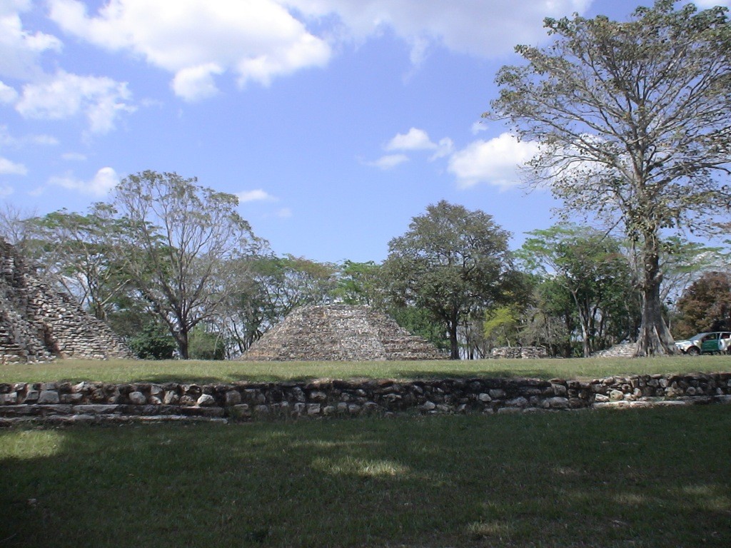
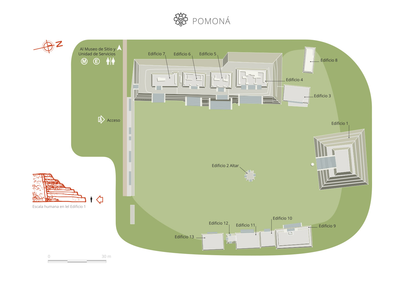
The layout of the city is dispersed, using the higher land above the flood level, where six major groups of buildings can be found, of which only Group 1 has been investigated to date.
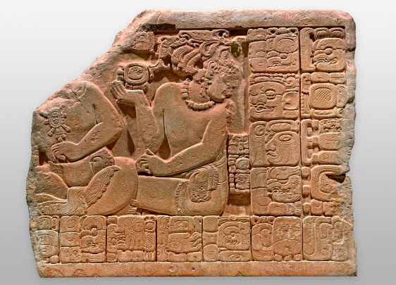
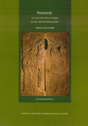
Among the most important finds is the "tombstone of the scribe," the stela of a high dignitary, a mask of the sun-jaguar god of the underworld, eccentric flint knives, the bust of a Mayan personage, the carved tablets of Building 4 and the figure of an old man with a beard and hat. All these items are currently on display in the Pomoná Site Museum.
Map
Did you know...
- The site is about 5 miles to the north of the final outcrop of limestone from the tertiary period, which is where the ancient Maya took their material for buildings and sculptural monuments.
Practical information
Monday to Sunday from 09:00 to 16:00 hrs. The maximum stay is 90 minutes.
$75.00 pesos
Se localiza en el extremo suroeste del municipio de Tenosique, Tabasco.
Services
-
+52 (993) 352 1022, +52 (993) 352 1030
-
This email address is being protected from spambots. You need JavaScript enabled to view it.
Directory
Coordinadora de las Zonas Arqueológicas de la región de Los Ríos, Tabasco
Priscilia Jannet Lagunes Celis
This email address is being protected from spambots. You need JavaScript enabled to view it.
+52 (993) 352 1033 y 352 1022

