Kohunlich
Hills of palm nuts
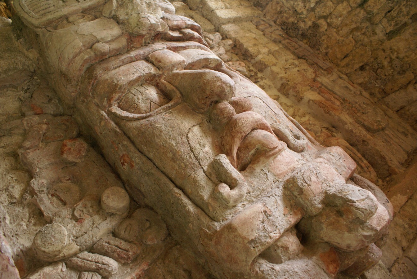
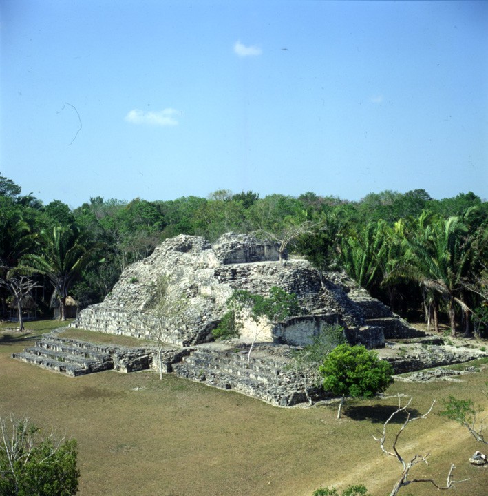
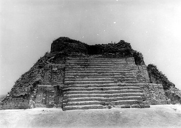
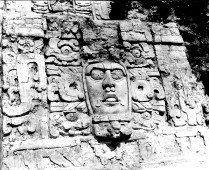
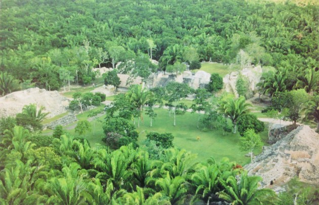
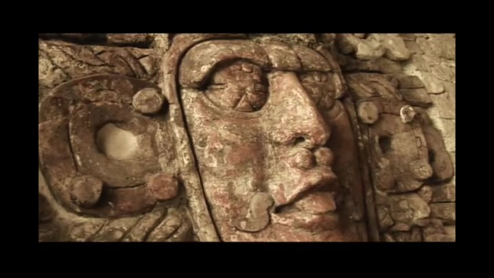
This is the most visited site in Quintana Roo. It has stunning residential, civic and religious complexes surrounded by jungle. The Temple of the Masks is outstanding with figures of royal personages which still retain traces of red paint and whose attire bears celestial symbols.
About the site
Kohunlich is located in the low forest in the south of the state of Quintana Roo, in the municipality of Othón P. Blanco. The region’s climate is wet-tropical and the geology for the most part comprises sedimentary rock, notably limestone and gypsum.
The first mention of the site was by U.S. archeologist Raymond Merwin, who named it “Clarksville” on a map of the region which he prepared in 1912. The archeological site was later named Kohunlich which comes from the English: “cohune ridge,” cohune being a type of palm nut. The local people adapted the pronunciation to “cojumrich” until finally the archeologist Víctor Segovia named it Kohunlich, which fits better with Mayan phonetics.
The excavation of the archeological site was prompted by Ignacio Ek Dzul, a small farmer from the village of Francisco Villa, filing a complaint about the pillaging of the site in 1968. He informed the then governor of Quintana Roo, Javier Rojo Gómez, of the existence of a pre-Hispanic structure with stucco masks, and the latter made the necessary arrangements for their excavation and rescue. The archeologist Víctor Segovia Pinto began work on uncovering the Temple of the Masks in 1969 and in 1972 INAH formally took possession and custody of the archeological site. Restoration work continued during the 1970s and 80s, but it was not until the 1990s that the archeologist Enrique Nalda took over the direction of the project. After long digging seasons, Nalda managed to free the majority of the architectural complexes which today make up this extensive archeological site.
Kohunlich was populated continually during the pre-Hispanic period from approximately 500 BC to 1100 AD. Its population experienced two setbacks, it recovered from the first in the middle of the Classic period, while the second resulted in the complete abandonment of the site after 1000 AD.
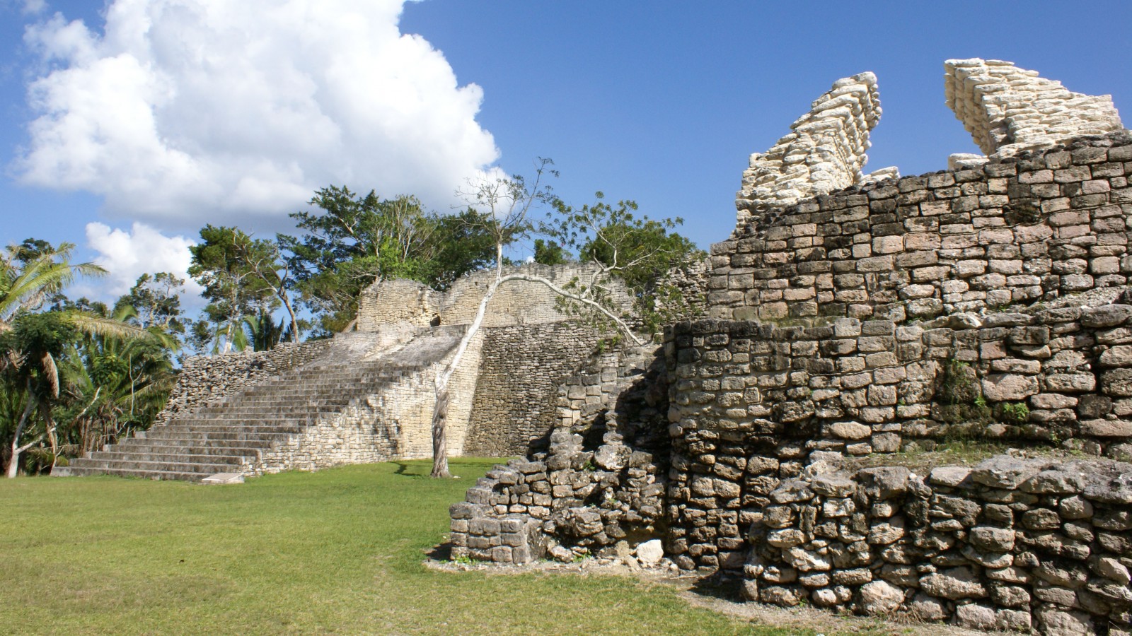
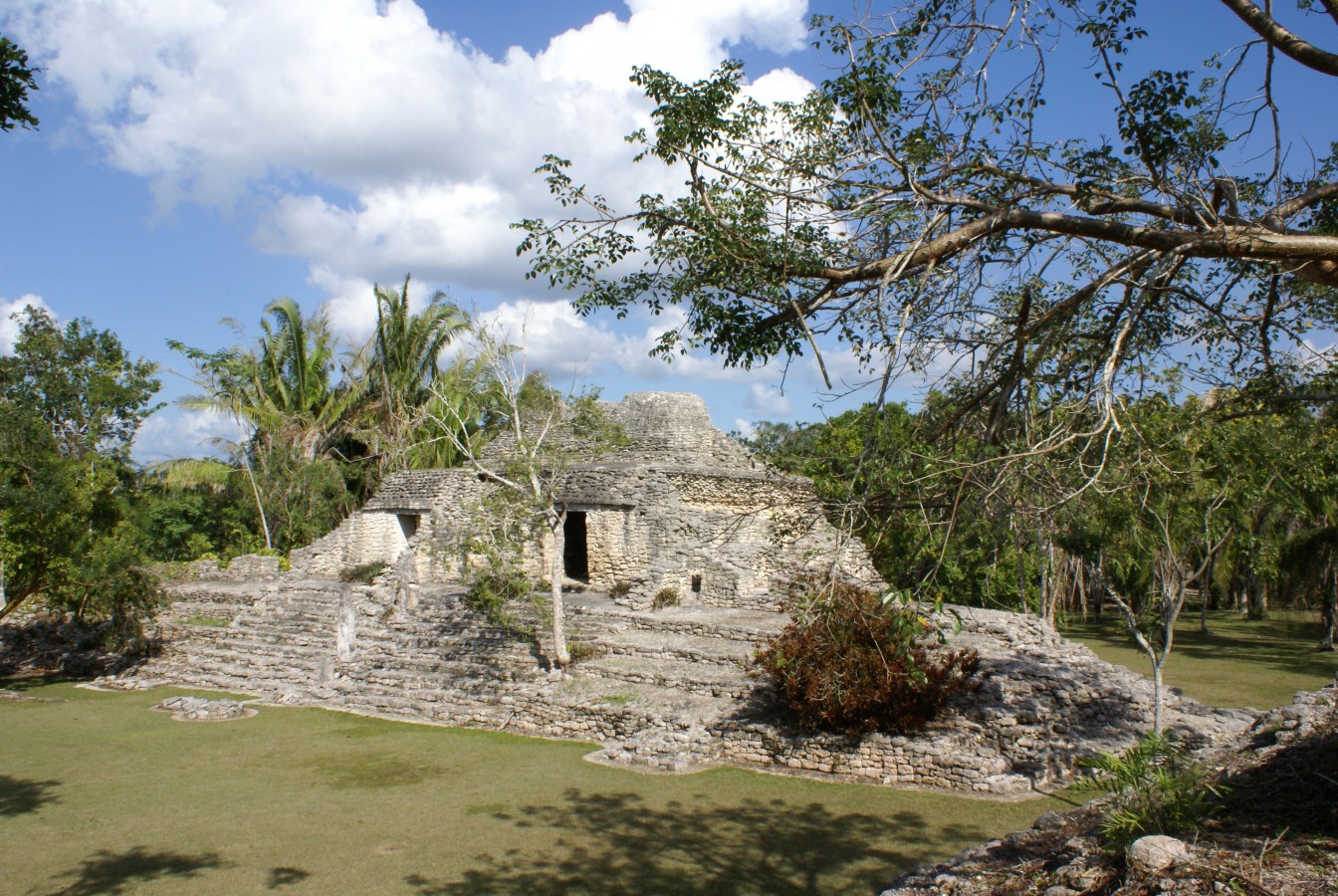
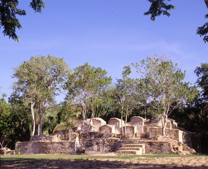
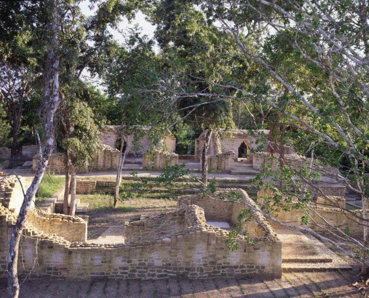
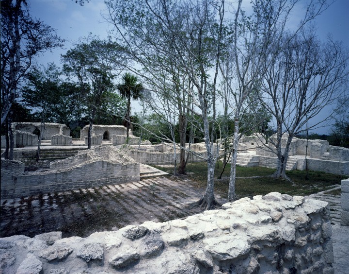
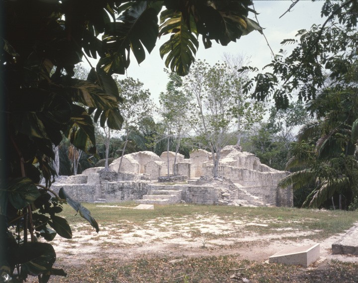
The archeological site is an enormous settlement made up of a series of architectural complexes of a ceremonial and residential nature, some of which may have served as elite neighborhoods or family enclaves.
Its buildings display various stages of construction and architectural styles. The earliest may be linked to the style of the Peten region, nevertheless in the Late Classic it developed a style of its own known as Pixa’an, after the residential complex of that name which has the most complete example of the style. This style was typified by its smooth mortarless stone walls, moldings framing groups of small columns, rounded doorposts in the main entrance and embedded or recessed columns and niches in the facades. This style of architecture is also found in the buildings of the Plaza of the Stelae and the Acropolis.
Even though the reasons for the decline of Kohunlich are unknown, it is likely that ethnic diversification resulting from the arrival of numerous groups of migrants during the Late Classic and the possible establishment of autonomous political entities might have been fundamental causes of the break-up of the region, as well as the weakening of the groups which exercised power.
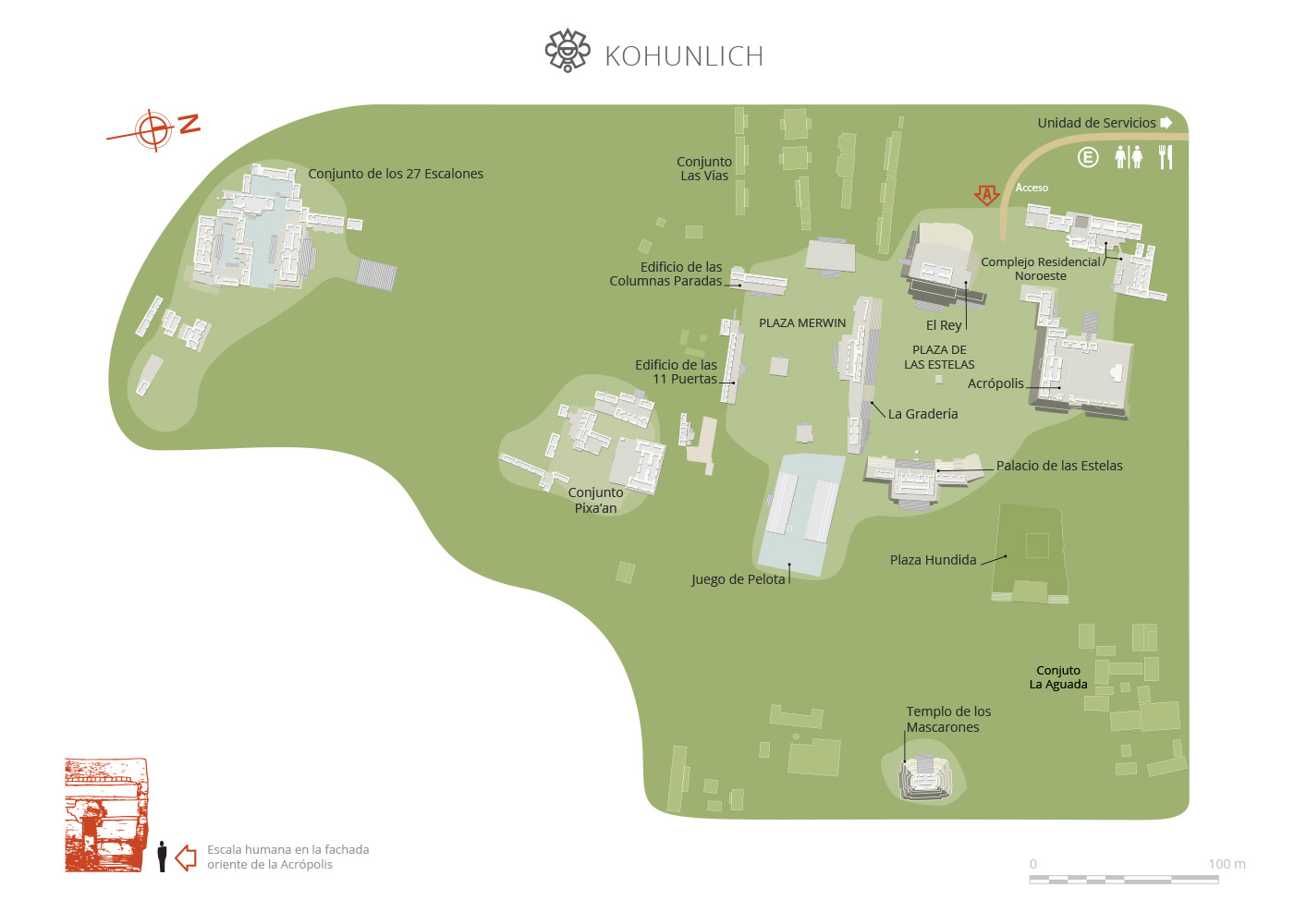
Map
Did you know...
- The stucco facade masks which decorate the Temple of the Masks, related to the so-called Peten style, have become a symbol of the region.
- Only five of the original eight stucco facade masks have been preserved.
- Its present-day name is a version of Cohune ridge from the English, meaning the ridge of the cohune nuts. Cohune nuts are similar in appearance to cranberries.
- The Sunken Plaza was designed with the intention of draining rainwater running off the hill.
Practical information
Monday to Sunday from 08:00 to 17:00 hrs. Last entry 16:30 hrs.
$100.00 pesos
Permanecerá cerrado hasta nuevo aviso, debido a trabajos del Programa de Mejoramiento de Zonas Arqueológicas
Se localiza en la parte sur de Quintana Roo, a 70 km de Chetumal.
From the city of Chetumal, take Federal Highway 186 Chetumal-Escárcega, in the direction of Escárcega. Passing the town of Francisco Villa, the turn off for the site is 9 km ahead.
Services
-
+52 (983) 837 24 11
-
This email address is being protected from spambots. You need JavaScript enabled to view it.
Directory
Enlace
Silvia Inchaurregui Pichardo
This email address is being protected from spambots. You need JavaScript enabled to view it.
+52 (983) 837 2411 ext. 318005

