Olintepec
The moving hill
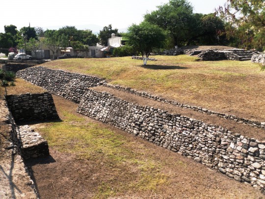
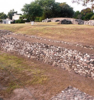
This site was inhabited from 1500 BC up to the seventeenth century, serving as the center of government of the region, in one of the most fertile parts of the present-day state of Morelos. A great plaza and two sixteen-foot-high platforms testify to its past splendor.
About the site
The pre-Hispanic town of Olintepec was founded at the foot of the Cerro del Olinche beside the river Cuautla on the fertile soil of the valley ringed by the surrounding hills. The river Cuautla played an important role in Mesoamerican development as it linked the inhabitants of Olintepec with other peoples and regions. The inhabitants used the river to supply themselves with obsidian from the present-day states of Mexico and Hidalgo, with valuable green stones from the Sierra Madre del Sur and salt from Puebla and the State of Mexico. The river also carried ideas which were adopted, adapted and transformed according to the needs of this settlement’s inhabitants, and this is how the dominant ideology of the time came to be assimilated.
Around 1500 BC various farming villages were established in the valley, with huts made from perishable materials and built on mounds of earth close to the cultivated area. The people were united by close ties of parentage. Thus individuals were recognized as part of the group because they were descended from a common ancestor, who had acquired mythical qualities. They did not have a permanent ruler, although everyday and supernatural activities were directed by those who knew best how to carry them out.
Around 1200 BC social organization across the whole of Mesoamerica changed radically, including in Olintepec. This is when a governing class arose which utilized Olmec stylistic elements to mark their status and to differentiate itself from its peers. The early villages were abandoned and the population concentrated in the center of the valley. The nascent nobility, whose members spoke to supernatural beings and wore jaguar emblems, founded Olintepec around 1000 BC. Thus begun one of the site’s four peak stages, linked to the settlements of the same status such as Zazacatla and Chalcatzingo in the western and eastern region of Morelos respectively.
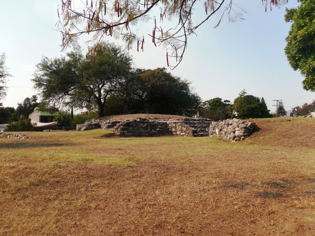
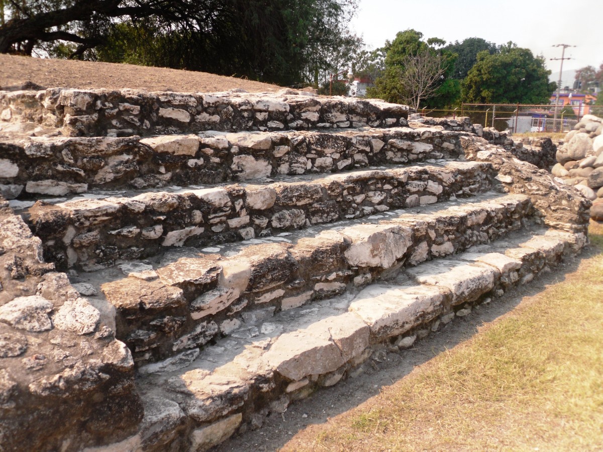
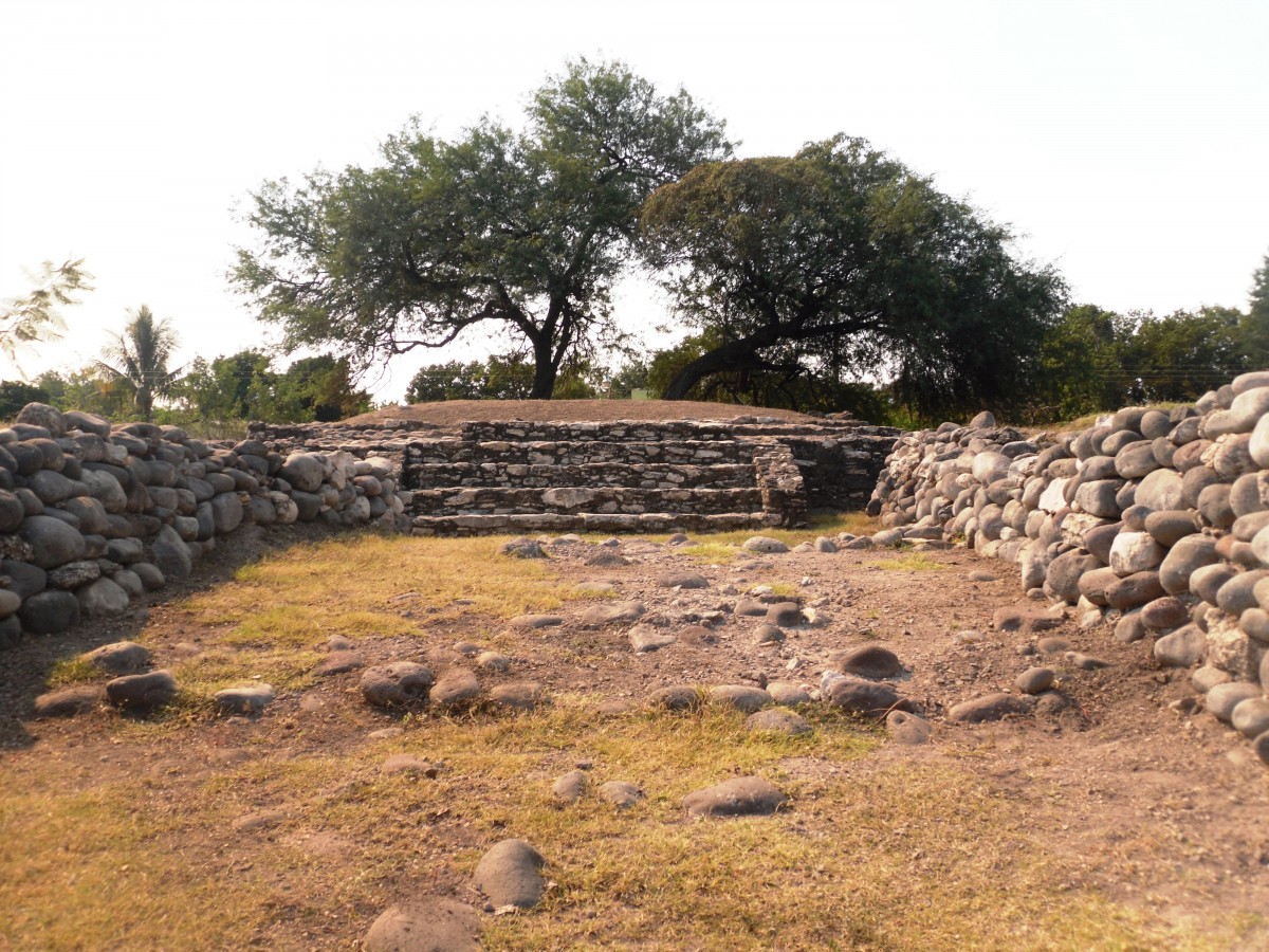
In the Late Preclassic (500-150 BC) the inhabitants erected a temple to their patron god on top of a pyramid. Each of the various modifications raised the height of this building until it reached 33 feet. It was built from gray stones with rounded edges brought from the Cuautla River. At this time Olintepec established relations with contemporary towns such as Cuicuilco in the Mexico basin, and even with some in Guerrero.
From 700 to 900 the inhabitants transferred the ceremonial center of the Cerro del Olinche with the aim of mimicking the great Epiclassic cities of this period such as Xochicalco, Cacaxtla and Teotenango. Nevertheless Olintepec was of lesser importance.
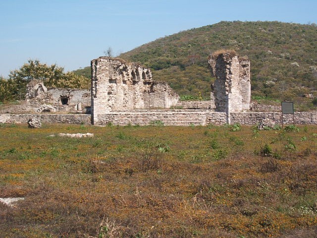
Around 1220, the arrival of Tlahuica groups in the territory marked the fourth peak stage of Olintepec. In fact these gave the site its Nahuatl name which has lasted to the present. The ceremonial center had 16 pyramidal temples grouped around various plazas with a central altar. The Palace of the Tlatoani was built on one of the pyramids. It remains to point out that only two of the structures can be visited: mounds 1 and 5 (see “Structures”). The rest lie beneath the houses and infrastructure of Nueva Olintepec.
The Mexican empire conquered the Tlahuica territory when the Triple Alliance was formed in 1428. Just like the other fiefdoms of the eastern region, Olintepec paid tribute through the Tlahuica lord of Oaxtepec, which was the regional center imposed by the Triple Alliance.
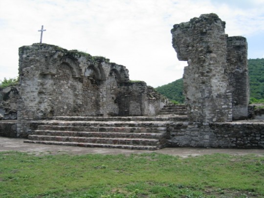
After the conquest, Dominican friars arrived at the site and founded a chapel on top of the Palace of the Tlatoani. The town went into decline as a result of overexploitation by the Spanish and the decimation caused by their diseases. In 1603, the few survivors were gathered In Cuautla by the Spanish authorities. The town of Olintepec disappeared and its millenia-long history came to a dramatic end.
1500 a.C. - 1610
Preclásico Temprano a Posclásico Tardío
1200 - 1600
Posclásico Tardío
Did you know...
- Olintepec was one of the oldest continually inhabited towns of the Morelos region.
- It is located in the middle of the “Zapata Route” which covers the Zapata House Museum, the former hacienda of Chinameca, where the leader was assassinated, and Anenecuilco.
An expert point of view

Giselle Canto Aguilar
Centro INAH Morelos
Practical information
Temporarily closed
Monday to Sunday from 9:00 to 18:00 hrs
Free entry
Se localiza en la carretera Ayala-Moyotepec, en la colonia Nueva Olintepec, municipio de Ayala (al sur de Cuautla), en el estado de Morelos.
From the city of Cuautla, take the highway for Villa de Ayala. The site is 12 km away. Alternately, take the Cuautla-Tlaltizapan state road. The site is 9 km away.
Services
-
+52 (777) 314 4048
-
This email address is being protected from spambots. You need JavaScript enabled to view it.
Directory
Subdirector Administrativo del Centro INAH Morelos
Salvador Castro Gómez
This email address is being protected from spambots. You need JavaScript enabled to view it.
+52 (777) 312 3108


