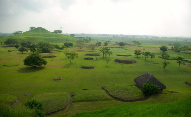
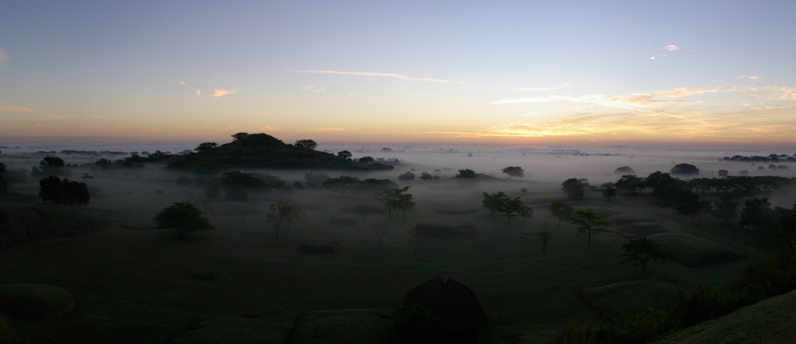
This site in the present-day town of Tamuín, in the state of San Luis Potosi, is located in a meander of the Tampaón River. It is surrounded by lowland rainforest, with an abundant variety of flora and fauna. This was a great advantage for the exploitation of diverse animal species, for agriculture and for gathering food, all of which significantly contributed to the survival of numerous settlements established in the region. As well as being an important and constant source of food and water resources, the river was the axis which enabled the exchange of goods and interaction with other regions.
The archeological evidence allows us to deduce that the inhabitants were very dynamic, with a diversified economy, a complex social organization, funerary rituals and commercial trade with distant provinces. The city of Tamtoc has captured the attention of experts. It has even been said that it is “without a doubt the most important monumental center in the north-east of Mexico” (Dávila and Zaragoza).
Based on carbon 14 dating, the oldest settlement identified to date (90-150 AD +/-30) is located in the northwestern sector of the site known as La Noria (“The Waterwheel”). It belongs to the pre-urban period, organized by a leadership. The society was organized around a complicated religious structure, with an economy based mainly on agriculture, hunting and fishing, but with a marked increase in the use of prestigious goods, such as sculptures and ornaments made from stone and shells.
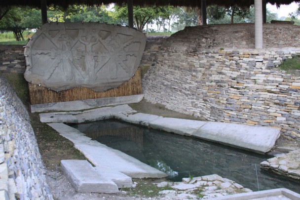
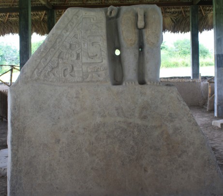
The cultural manifestation of this early society is represented by the construction of a complex system of canals and water cisterns. This form of distributing and using the vital liquid which springs in different spots is associated with the worship of life and death, as manifested in the striking monolith known as La Sacerdotisa (“The Priestess”). At the foot of this, there is a spring or water trough where an elaborate offering was placed, including the extraordinary sculpture of La Mujer Escarificada (“The Scarified Woman”).
During a second period (450-900 AD), the city took shape and the public and private spaces were clearly demarcated. Guy and Claude Stresser-Péan (2001) recorded architectural structures in the Main Square from this period. An offering placed at the base of a sculpture, which contained nine seashells, was dated to 482 AD.
In 2015, we excavated a residential complex from this era. Its large size and elaborate finishing touches suggest that this dwelling may have belonged to a group of artisans who specialized in lapidary and shell work, and who occupied a privileged place in the social hierarchy.
The temples located on the east-west axis, El Cubilete and El Tizate, as well as the Great Courtyard and the El Gobernante (“The Governor”) sculpture, belong to this period. An architectural layout was achieved during this period which could be considered the plan for the first city.
The final period of occupation, between 900 and 1525 AD, is characterized by a significant population increase and intense building activity, suggesting a society which was even more powerful and complex. The city reached its greatest urban expression and the institutions of state were strengthened.
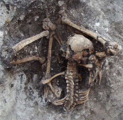
Finally, it is important to note that funerary rituals were of extraordinary importance in Tamtoc, to the extent that an architectural complex was built characterized by temples, walkways and burial mounds. From these, 105 individuals were recovered dating from between 1251 and 1522 AD, placed in seated positions and looking towards the east. These people had a green stone (quartzite) bead originating from Motagua, Guatemala as their sole grave good. One tomb in particular contained an earring made from turquoise, which came from Arizona, United States (Melgar et al., 2012).

