Cerro de Trincheras
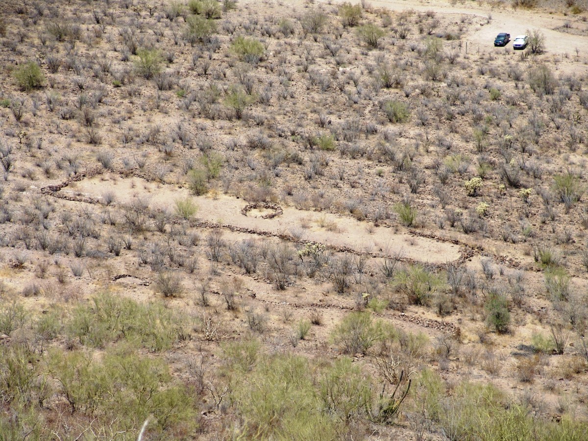
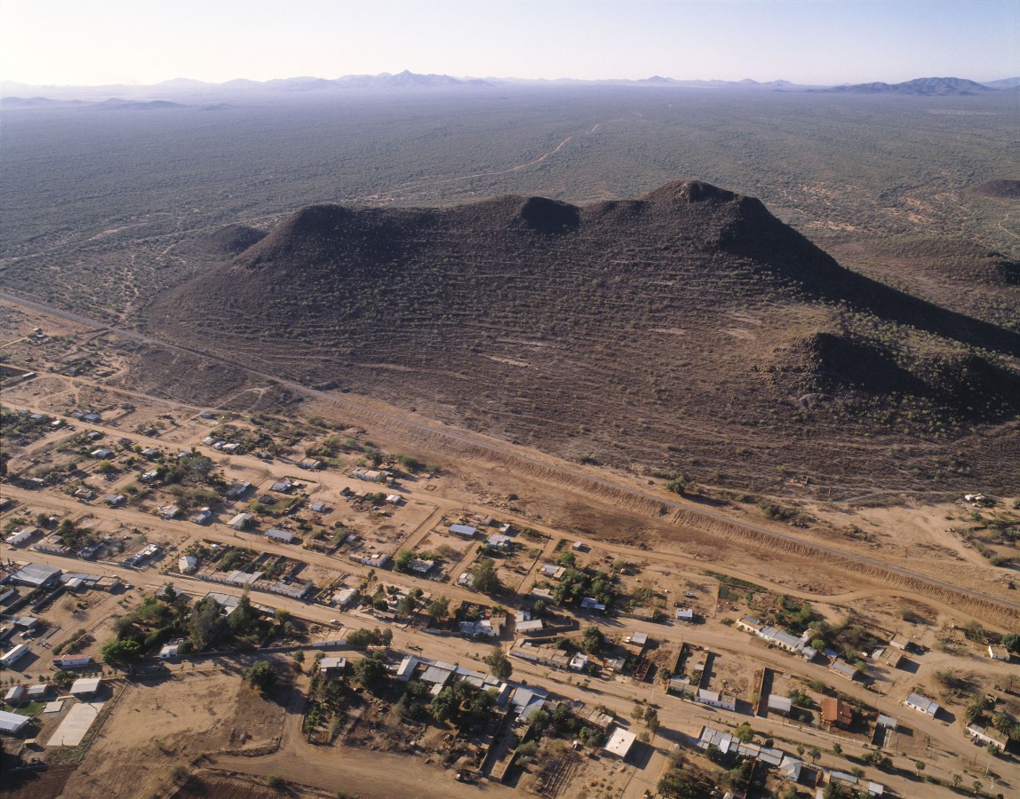
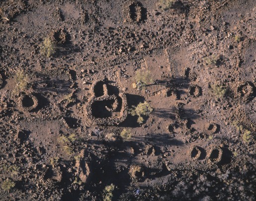
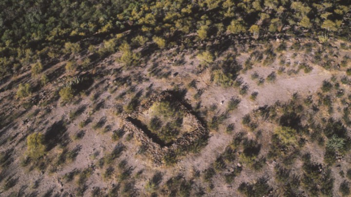
The site's name (“Mountain of trenches”) comes from the resemblance of its walls and terraces with military fortifications.
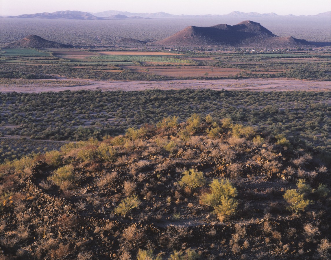
Twelve centuries ago, a mountain enabled a thousand farmers, craftsmen and leaders to establish a city in the Sonora desert. They levelled out more than 900 hillside terraces, raised walls of river stones, built a plaza on the peak and marked out a shell form. Its traces still remain.
About the site
The American continent’s first settlers arrived to the modern-day territory of Sonora 13,000 years ago. When the Sonora desert formed 10,000 years ago, these hunters and gatherers adapted to its conditions and enriched their diet with the desert plants. The region’s natural richness allowed this archaic way of life to endure for several millennia.
Approximately 3,500 years ago, the settlers learned how to cultivate maize and used canals for irrigation. The care required for farming led to the emergence of the first permanent settlements or villages. These had common cultural characteristics such as the production of purple-on-red pottery, the construction of walls or “pens” on the peak of some hills and building terraces or “trenches” on the hillsides. As a result, these villages are known as belonging to the “Trenchiras” tradition.
Seven hundred years ago, the site became the governing center of the farming villages scattered around the valleys of the Magdalena, Altar and Concepción rivers. It was home to a population of more than 1,000 inhabitants from 1300 to 1450. When controlling the valleys from this town became impossible, the communities went back to living in isolated villages.
In this pre-Hispanic settlement, stone-walled terraces were built. They were used to build houses and shelters by the ancient inhabitants, where they carried out all of their daily activities. They also had areas dedicated to certain activities. Some were used for public or communal ceremonies and others for private rituals, exclusively for certain groups or the head family.
Did you know...
- The name of this settlement is attributed to Captain Mateo Manje, who accompanied Father Francisco Kino to the Magdalena valley. Upon seeing the terraces, the soldier observed that they looked like military trenches.
An expert point of view

Elisa Villalpando Canchola
Centro INAH Sonora
Practical information
Tuesday to Sunday from 09:00 to 18:00 hrs.
Free entry
Blvd. Joaquín Murrieta y Calle Sonora, Trincheras, Sonora
From the city of Hermosillo, take Federal Highway 15 in the direction of Nogales. Continue on Federal Highway 2, Santa Ana-Caborca, until the toll booth located at km 40 and, a little further on, take the exit for the town of Trincheras, which is 42 km away.
Services
-
+52 (662) 217 2580
-
This email address is being protected from spambots. You need JavaScript enabled to view it.
Directory
Administración del Centro INAH Sonora
Anabell Hernández Bedolla
This email address is being protected from spambots. You need JavaScript enabled to view it.
+52 (662) 212 63 64 y 217 4222


