Search

  •   INAH-CND /Alejandro Navarrete
    INAH-CND /Alejandro Navarrete
  •  INAH-CND /Alejandro Navarrete
    INAH-CND /Alejandro Navarrete
  •  INAH-CND /Alejandro Navarrete
    INAH-CND /Alejandro Navarrete
  • INAH-DMC /Héctor Montaño
    INAH-DMC /Héctor Montaño
  • INAH-DMC /Héctor Montaño
    INAH-DMC /Héctor Montaño
  • INAH-DMC /Héctor Montaño
    INAH-DMC /Héctor Montaño
  • INAH-DMC /Héctor Montaño
    INAH-DMC /Héctor Montaño
  • INAH-DMC /Mauricio Marat
    INAH-DMC /Mauricio Marat
  • INAH-DMC /Mauricio Marat
    INAH-DMC /Mauricio Marat
  • INAH-DMC /Mauricio Marat
    INAH-DMC /Mauricio Marat
  • INAH-DMC /Mauricio Marat
    INAH-DMC /Mauricio Marat
  • INAH-DMC /Mauricio Marat
    INAH-DMC /Mauricio Marat
  • INAH-DMC /Mauricio Marat
    INAH-DMC /Mauricio Marat
  • INAH/Melitón Tapia
    INAH/Melitón Tapia
  • INAH/Héctor Montaño
    INAH/Héctor Montaño
Tula
Place of tule or reeds
A key city in the history of the Altiplano (Central Highlands), the great Toltec capital from the year 1000 left vast remains full of monuments and artistic treasures. It influenced the peninsular and Central American Maya, and the cultures of the Gulf coast, Anahuac and the western regions.
About the site

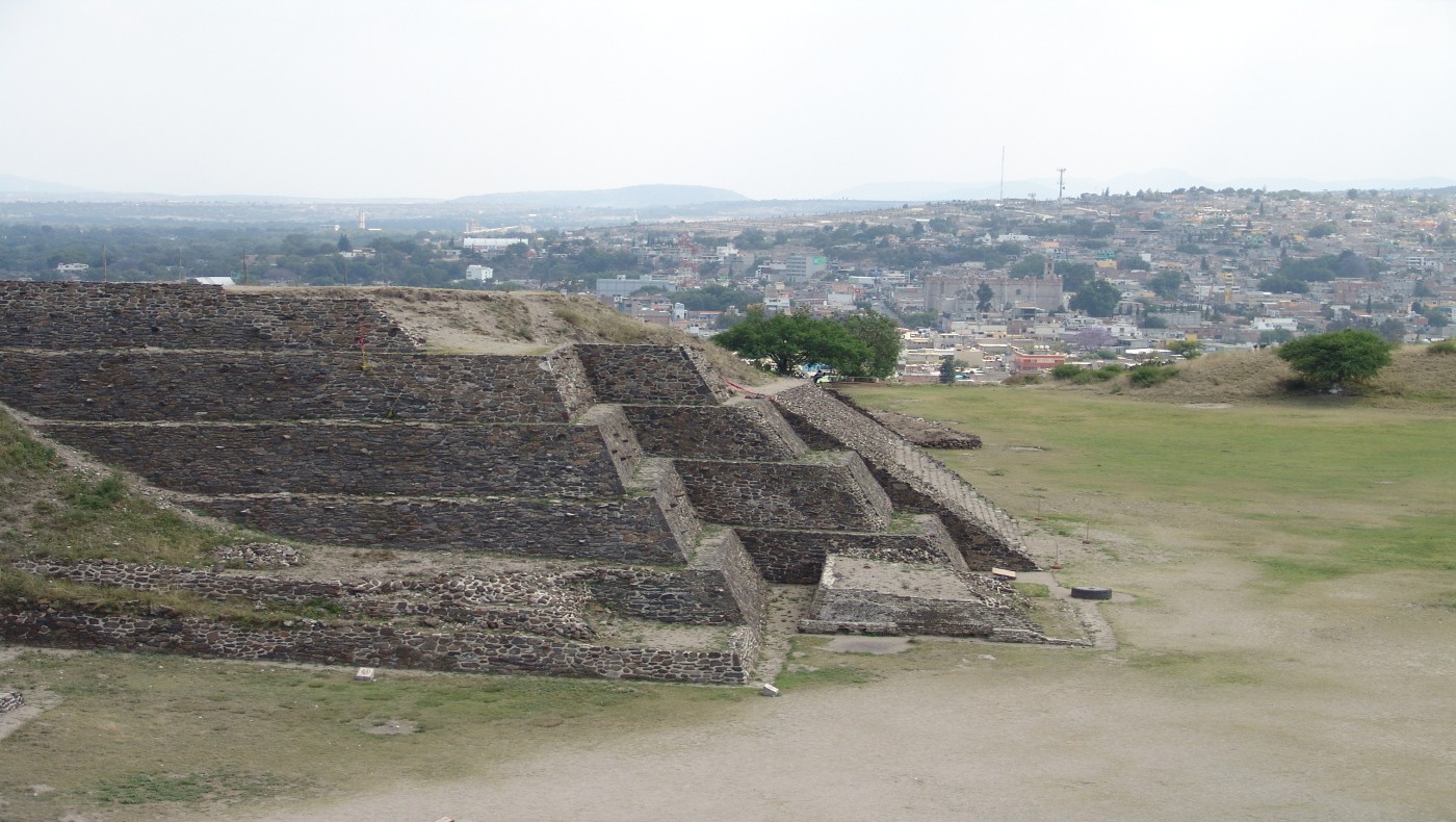
From numerous studies on the internal structure and extent of this imposing city, we know that the original settlement dates back to the seventh century AD in the site known as Tula Chico, an area encompassing approximately 1.2 square miles lying along the route of the Tula River. The site now known as Tula Grande emerged subsequently, in the tenth century; the layout and orientation of the main buildings in the city were defined as the result of observation of the movements of the stars.

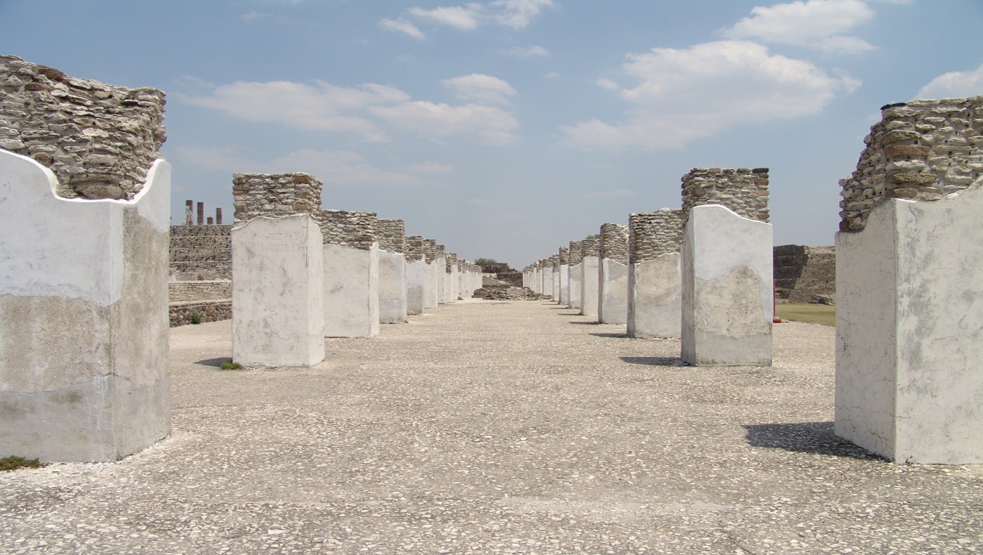
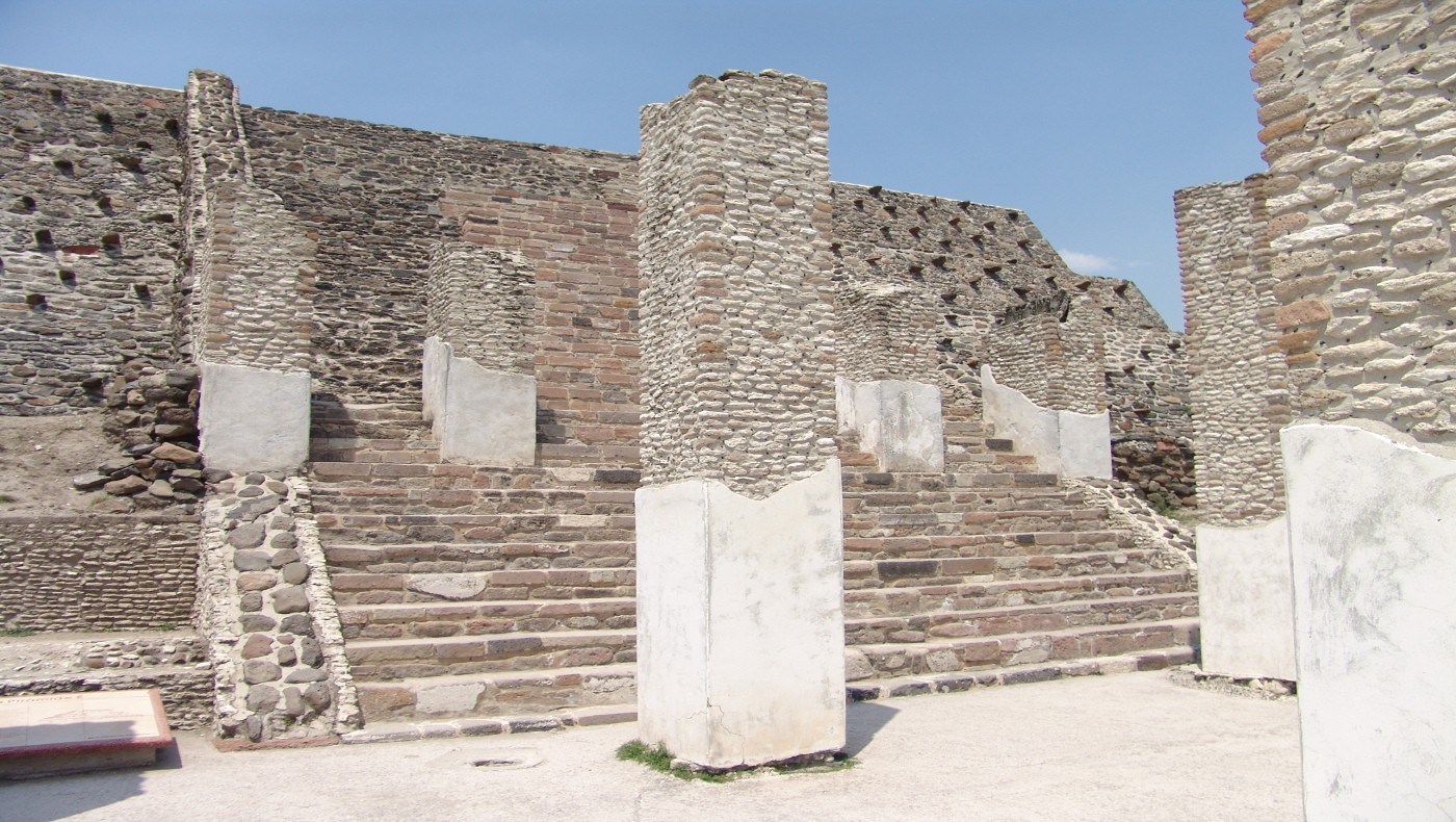
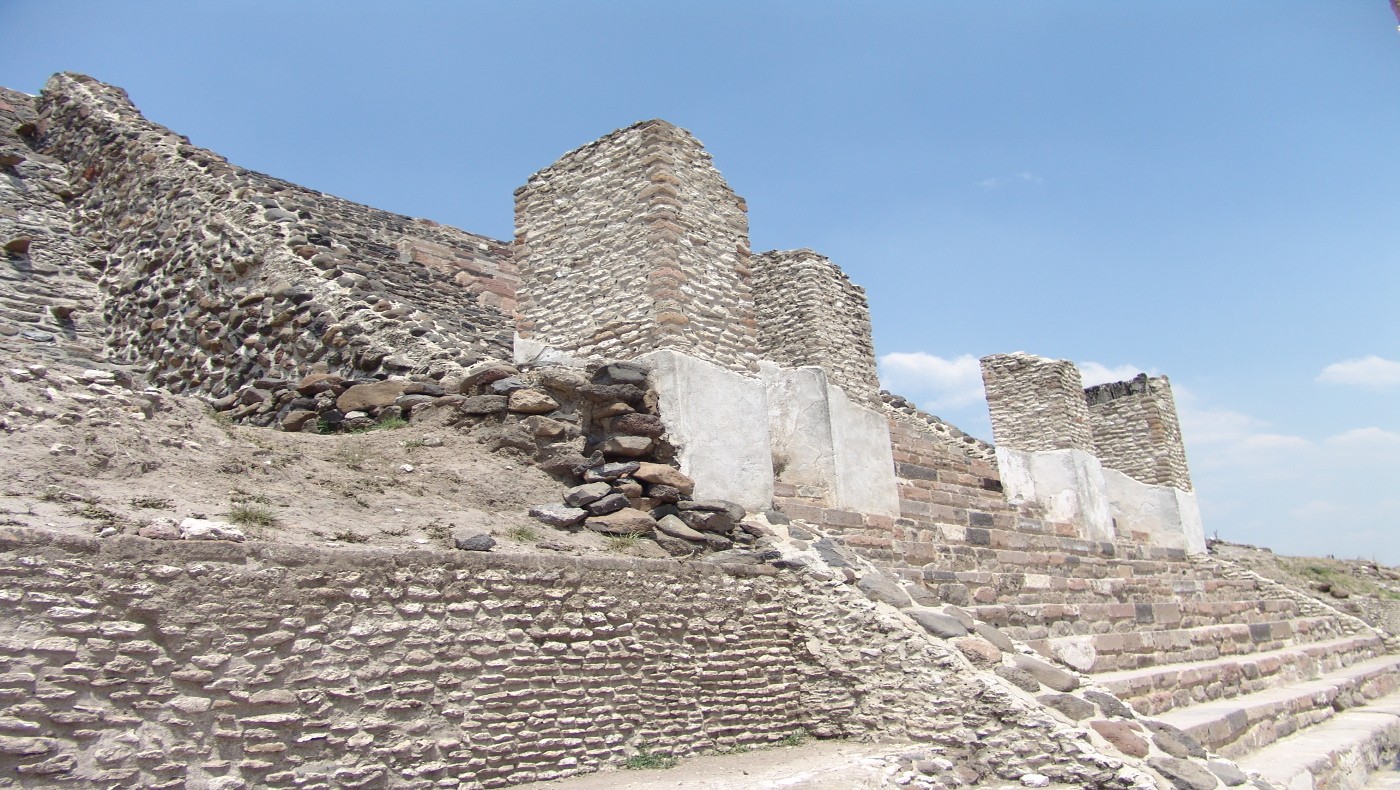
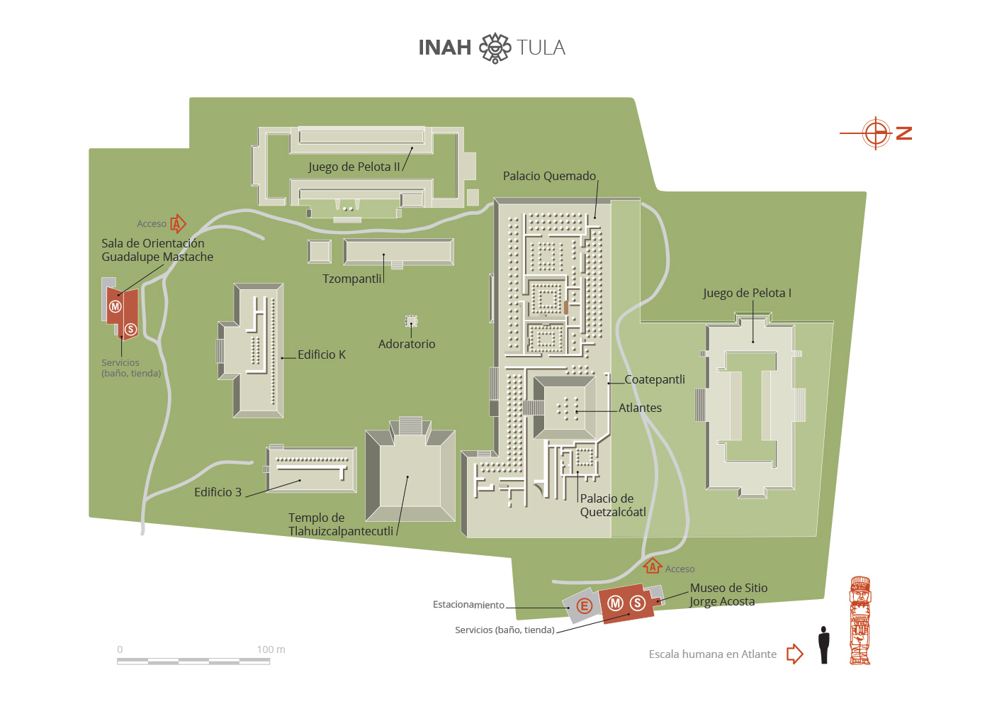
Tula’s inhabitants lived in neighborhoods where temples and palaces provided ideological, economic and political reference points. The housing, both for the ruling class and the common citizens, formed the central nucleus of the urban settlements’ layout. The building complexes were constructed on leveled terrain, cobblestone plazas and streets; terraced platforms provided the base for various structures including temples, ballcourts, palaces, “tzompantlis” (walls of skulls), and altars.

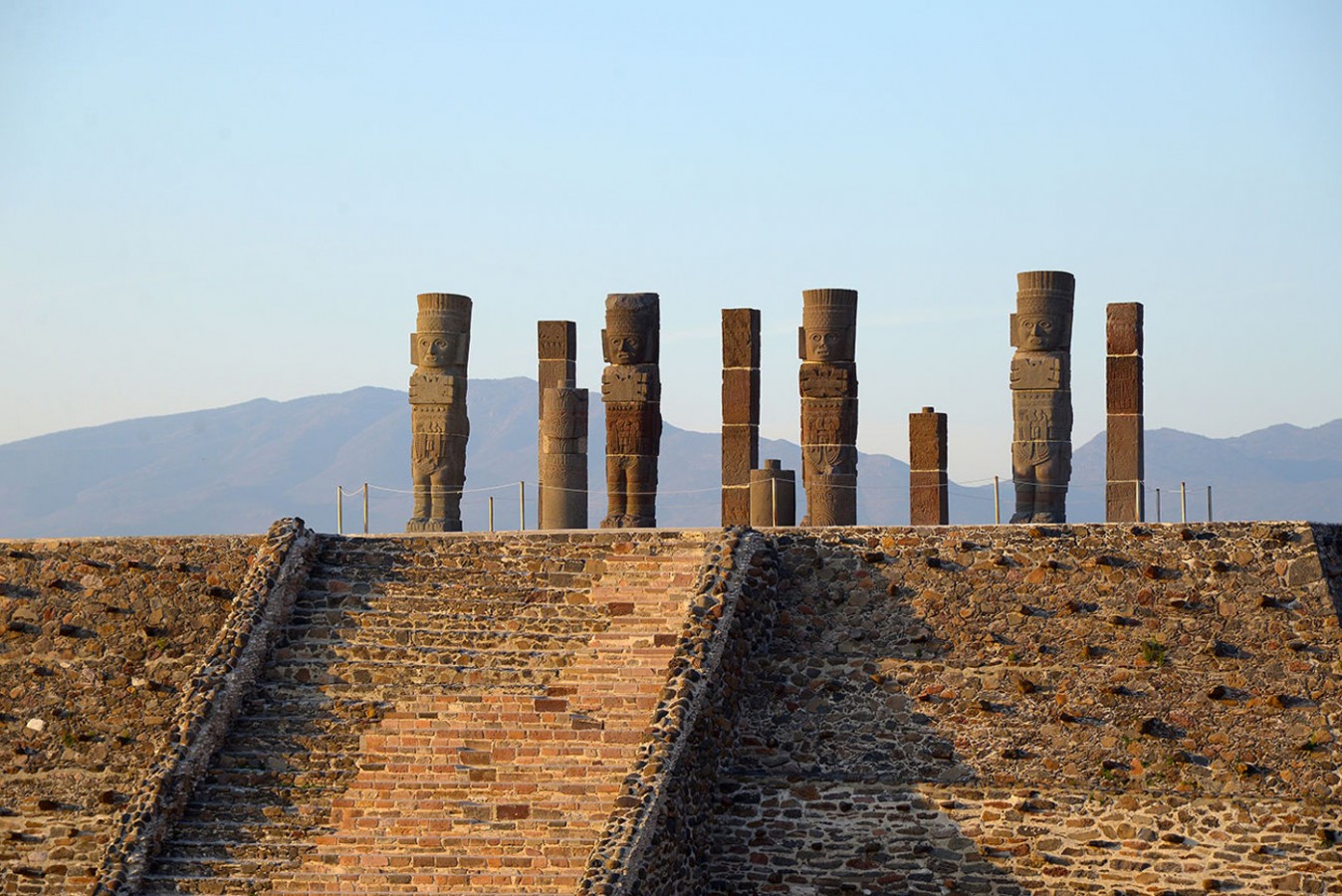
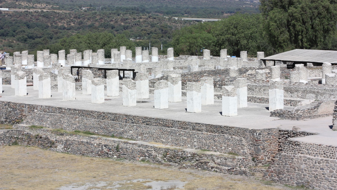
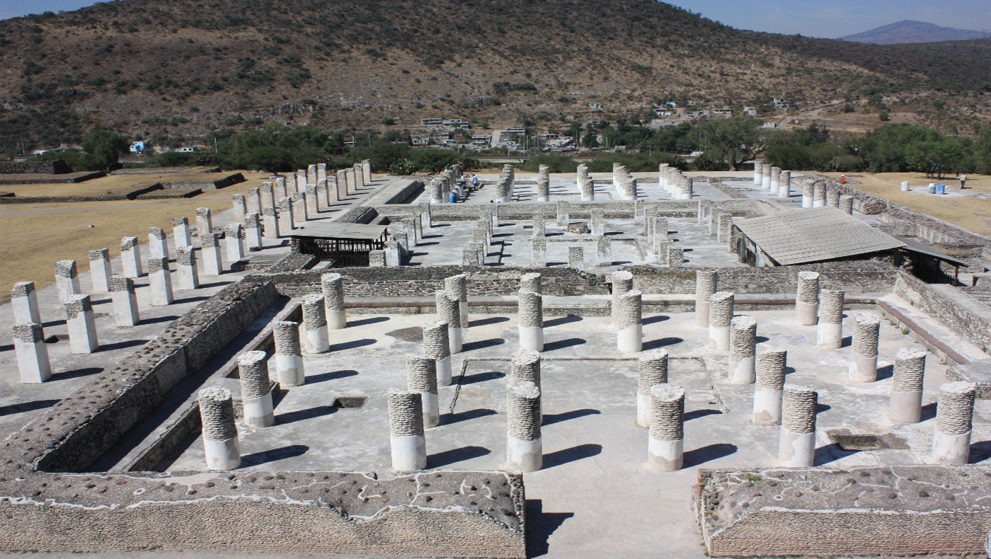
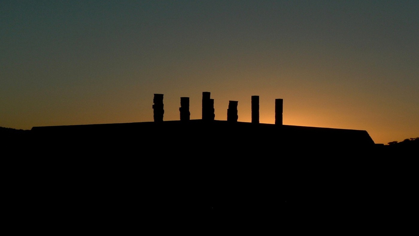
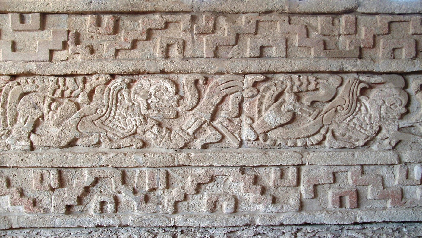
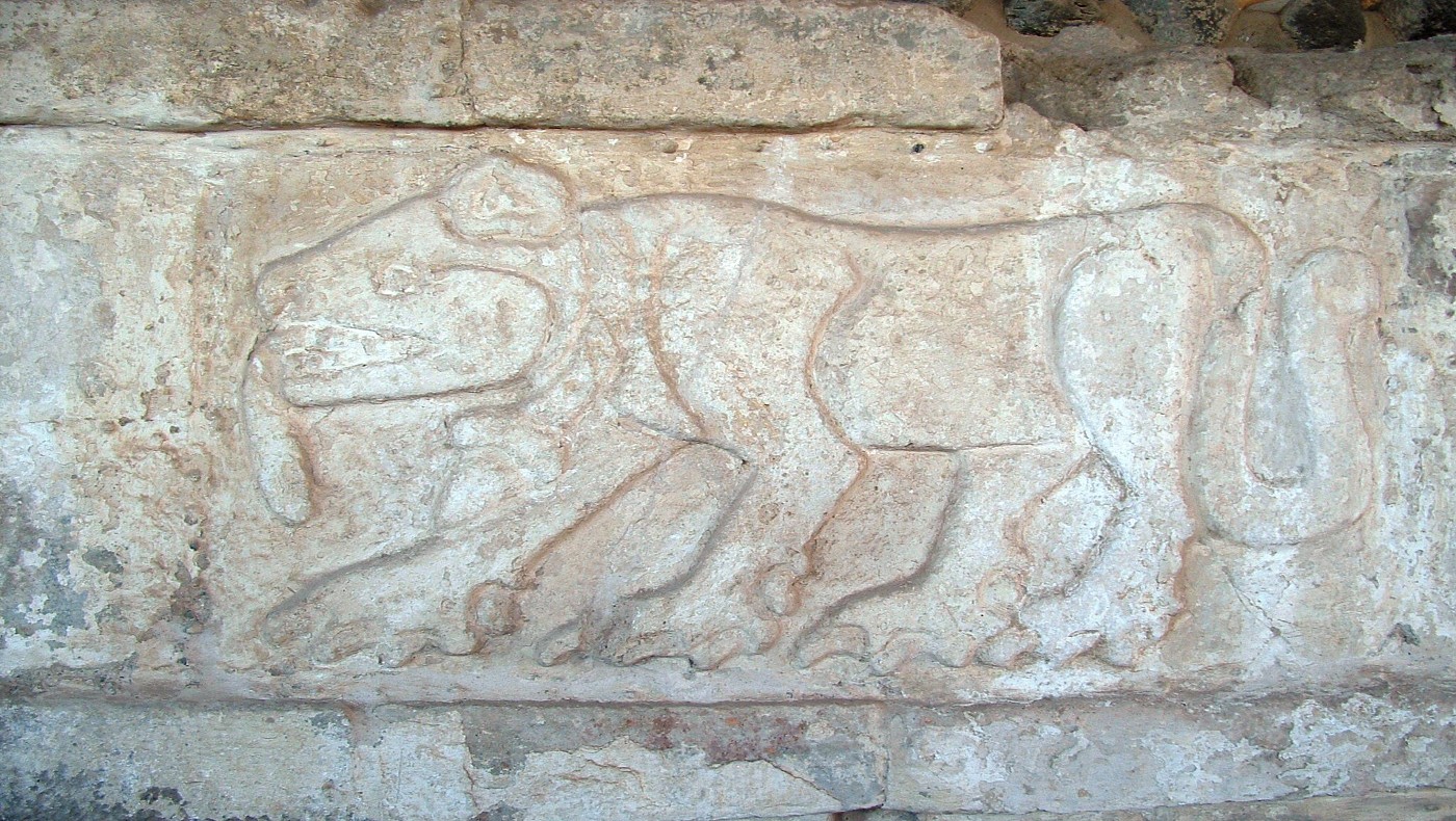
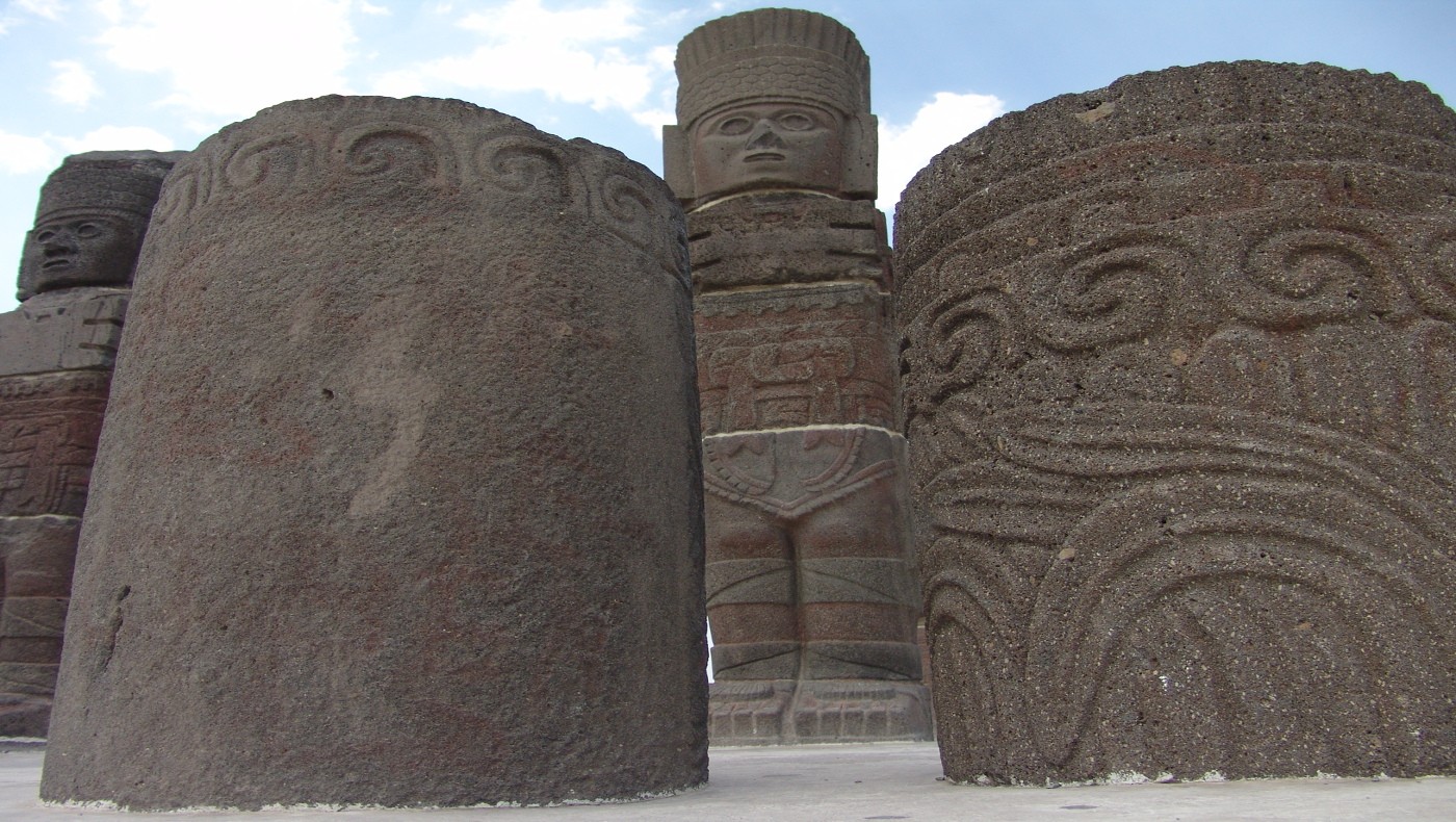
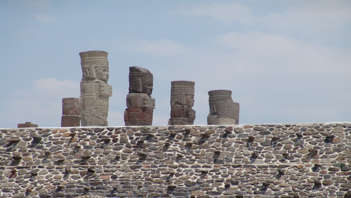
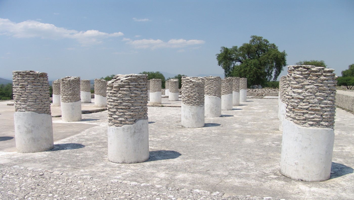
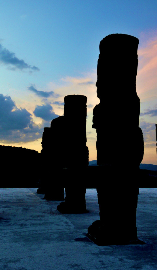
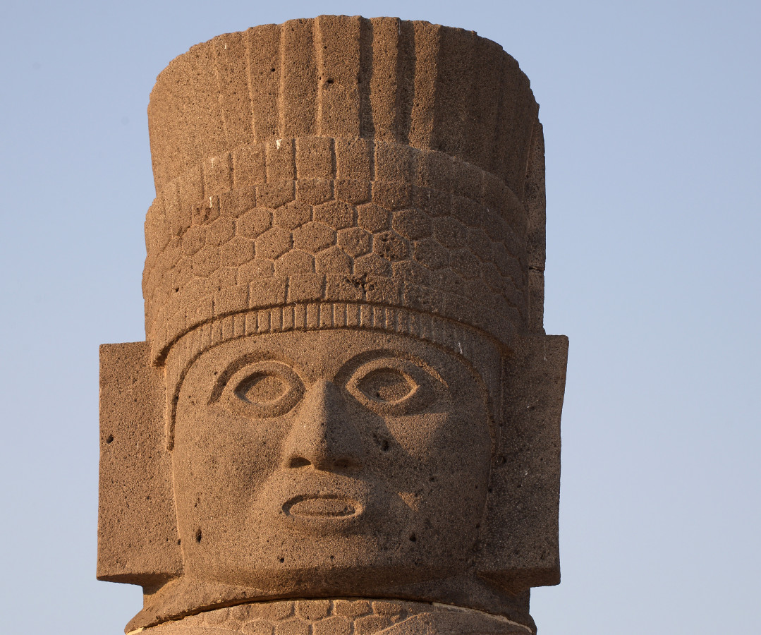
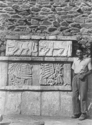
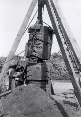
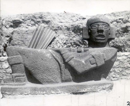
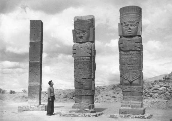
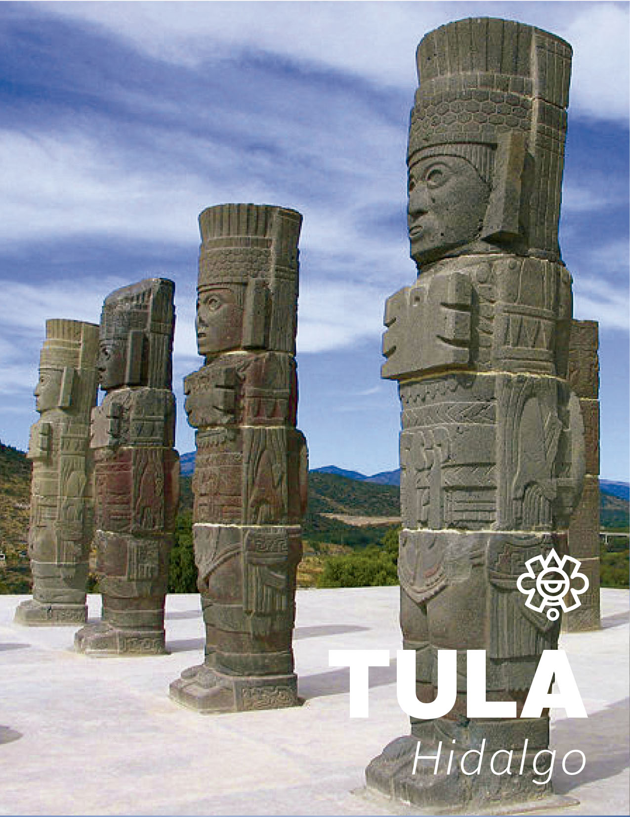
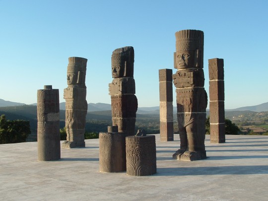
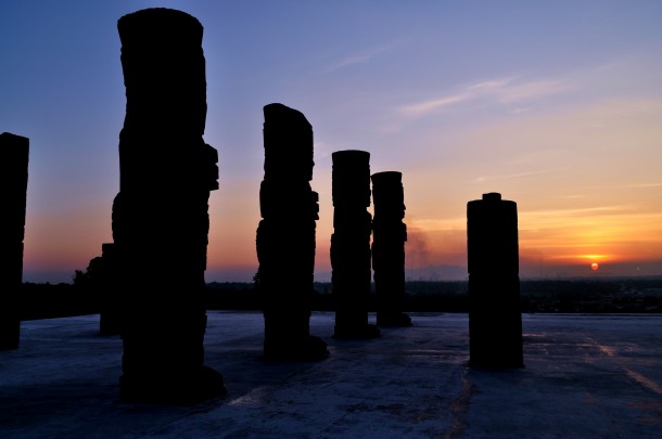
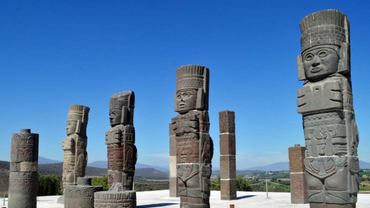
The sculptures of atlantes—likely to originally have been roof supports—are sculpted as warriors wearing butterfly-shaped chest plates, átlatl or dart throwers, obsidian knives, and headdresses. Pilasters are decorated with priests and important figures, as well as snake-shaped columns, which were used as entrances for the lodgings. Building B contains a decoration with reliefs on the wall known as the Coatepantli ("Wall of Snakes"), also found in the Palacio Quemado ("Burned Palace"), which together with the Vestibule structure constitute two of the spaces created by columns, pilasters, and benches.

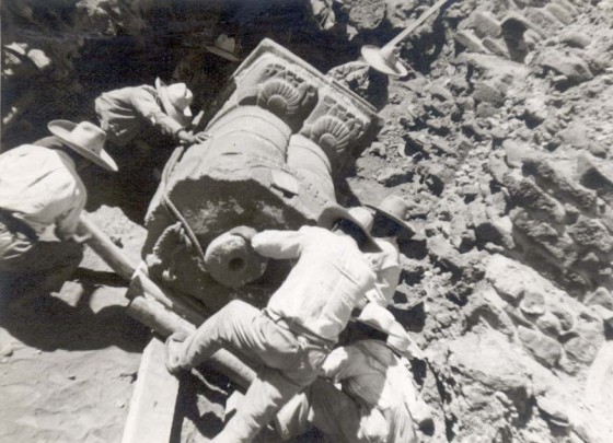
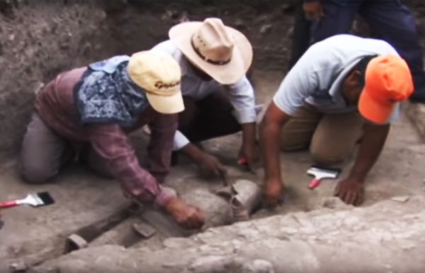
Archeological explorations at the site began in 1940, led by archeologist Jorge Ruffiere Acosta, whose team worked for 13 seasons before they eventually completed their work in 1960. Later projects carried out by the universities of Tulane and Columbia were coordinated by the INAH’s regional office in Hidalgo, until Guadalupe Mastache and Robert Cobean took over this work in the 1990s.

This metropolis—which stretched over more than 6 square miles—was inhabited for over four centuries and, alongside Teotihuacan and Tenochtitlan, was one of central Mexico’s most important urban centers. Some believe that, by around the year 1000 AD, it had become the capital of Mesoamerica’s entire central highland region. Its sphere of influence expanded to include most of central Mexico, as well as the Bajío, Gulf Coast, and the Yucatán; it probably also had an effect on Western Mexico’s regions and the Soconusco on the Pacific coast of modern-day Chiapas, on the border with Guatemala.

The Toltecs are the first pre-Hispanic people in the center of ancient Mexico about whom we possess information in regard to their history and culture (names of kings, accounts of the origins of Tula, their conquests and decline). A number of different written sources state that Tula was the city of a priest-king called Ce Ácatl Topiltzin, one of Mesoamerica’s most fascinating and heroic characters whose life was a blend of history and legend.

Tula reached its peak between 900 and 1000 AD, when its urban center experienced a transformation and reached its maximum expansion. This indicates that it was a heterogeneous, diversified, and complex society with a class system. Land in the city was divided into public and private spaces, with open areas, administrative and religious buildings, as well as zones for people to gather, share information and trade merchandise; there were also palaces, various housing typologies, and neighborhoods of varying kinds with areas for the manufacture of goods. The reason for Tula’s decline and collapse in the twelfth century remain unclear, but one of the causes may have been over-population and, therefore, the migration of its inhabitants to other cities.

Acosta
Atlante_01
Atlante
Chac_Mol_01
Atlante_09
Atlante_13
900 - 1150

Posclásico Temprano
900 - 1150

Posclásico Temprano

Did you know...
  • Some accounts mix together historic events from the real Tula with stories of the mythical city of Tollan, whose remarkable inhabitants were credited with inventing writing, metallurgy, and other arts and sciences.
  • In 1873, Antonio García Cubas referred to Tula when addressing the Mexican Society of Geography and History, drawing attention to the similarity between its Palacio del Señor de la Aurora (Tlahuizcalpantecuhtli, or "Palace of the Lord of the Dawn") and Chichén Itzá’s Pirámide de las Mil Columnas ("Pyramid of the Thousand Columns").
An expert point of view
Luis Manuel Gamboa Cabezas
Centro INAH Hidalgo
Archeological site
Tula
Practical information
Tuesday to Sunday from 09:00 to 18:00 hrs. Last entry 16:30 hrs.

$95.00 pesos


  • Extra fee for video cameras
  • Discount for senior Mexican citizens
  • Discount for Mexican students and teachers
  • No Smoking
  • No entry with food
  • Pets not allowed
  • No Flash
Se localiza a 80 km al norte de la ciudad de México.

Services
  • Accesibilidad
  • Estacionamiento
  • Módulo de información
  • Sanitarios
  • Visitas guiadas
GUIDE
Guide
  • +52 (773) 100 36 54
  • This email address is being protected from spambots. You need JavaScript enabled to view it.
  • FACEBOOK
Directory
Jefe de la zona Arqueológica de Tula
Raúl Guerrero Bustamante
This email address is being protected from spambots. You need JavaScript enabled to view it.
+52 (773) 100 36 54
Director del Centro INAH de Hidalgo
Héctor Álvarez Santiago
This email address is being protected from spambots. You need JavaScript enabled to view it.
+52 (771) 714 35 20, ext. 228013
1736
210_A_atlantes
210_A_tula_alejandro_navarrete_1
INAH-CND /Alejandro Navarrete
210_A_000
INAH-CND /Alejandro Navarrete
210_A_tula_alejandro_navarrete_2
INAH-CND /Alejandro Navarrete
210_A_tula_hector_montano_1
INAH-DMC /Héctor Montaño
210_A_tula_hector_montano_2
INAH-DMC /Héctor Montaño
210_A_tula_hector_montano_4
INAH-DMC /Héctor Montaño
210_A_tula_hector_montano_5
INAH-DMC /Héctor Montaño
210_A_tula_mauricio_marat_1
INAH-DMC /Mauricio Marat
210_A_tula_mauricio_marat_2
INAH-DMC /Mauricio Marat
210_A_tula_mauricio_marat_3
INAH-DMC /Mauricio Marat
210_A_tula_mauricio_marat_4
INAH-DMC /Mauricio Marat
210_A_tula_mauricio_marat_5
INAH-DMC /Mauricio Marat
210_A_tula_maurio_marat_6
INAH-DMC /Mauricio Marat
ATLANTES_ZONA_ARQUEOLGICA_TULA_FOTO_MELITN_TAPIA_INAH
INAH/Melitón Tapia
Atlantes_Tula_Foto_Hctor_Montao_INAH
INAH/Héctor Montaño
Altiplano Central
Museo "Jorge R. Acosta"
El sitio arqueológico se encuentra en el municipio de Tula de Allende.
La gran Tollán, la ciudad de Quetzalcóatl, sede de la cultura tolteca, fue la gran capital del altiplano central de Mesoamérica, con casi 16 kilómetros cuadrados de extensión, con numerosos edificios públicos, plazas, calzadas y abundantes esculturas y bajorrelieves policromados. En la parte superior de la pirámide de Tlauizcalpantecutli encontramos columnas, pilastras y los colosales atlantes que representan guerreros con un lanzadardos en su mano derecha y un haz de flechas en la otra. Sobre el pecho, portan un pectoral en forma de mariposa y visten falderín con gran cinturón; esculturas de piedra bellamente talladas y grabadas.
Aquí también podemos admirar el Palacio Quemado, un conjunto de tres salas rodeadas de columnas, banquetas y altares con decoración en bajorrelieves y vestigios de pintura mural.
A key city in the history of the Altiplano (Central Highlands), the great Toltec capital from the year 1000 left vast remains full of monuments and artistic treasures. It influenced the peninsular and Central American Maya, and the cultures of the Gulf coast, Anahuac and the western regions.
Lugar de tules o juncos
Place of tule or reeds

LEGAL NOTICE

The contents of this website belong to the Instituto Nacional de Antropología e Historia de México, and may be downloaded and shared without alterations, provided that the author is acknowledged and if is not for commercial purposes.

Footer MediatecaINAH

Guardar
Lugares INAH

Idioma