Bocana del Río Copalita
Copalita: the place of copal (a type of incense)
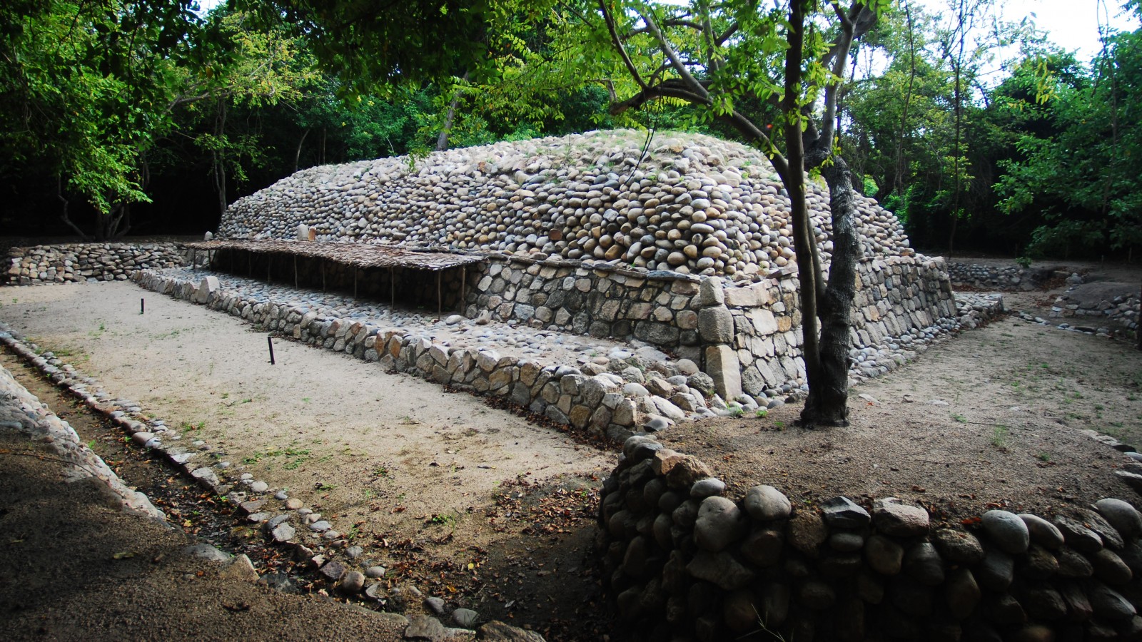
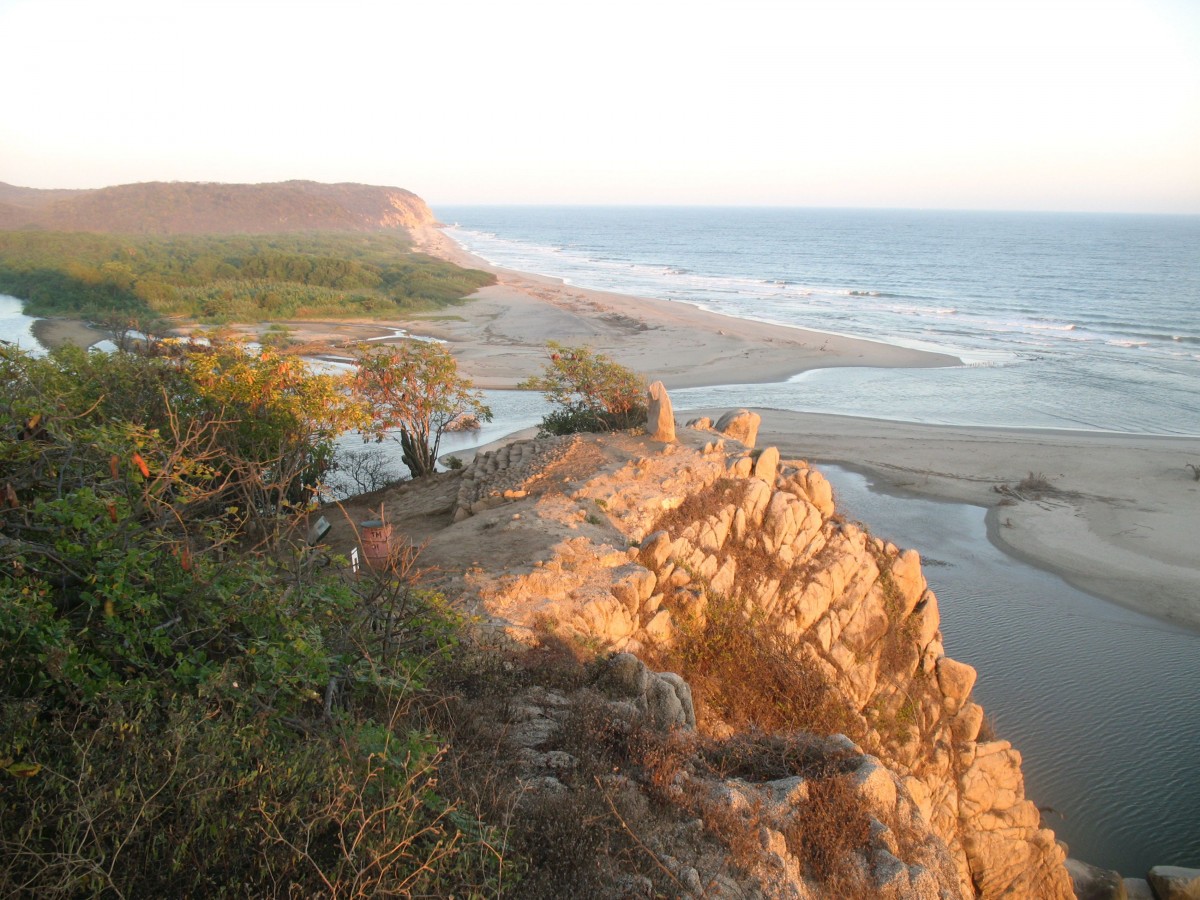
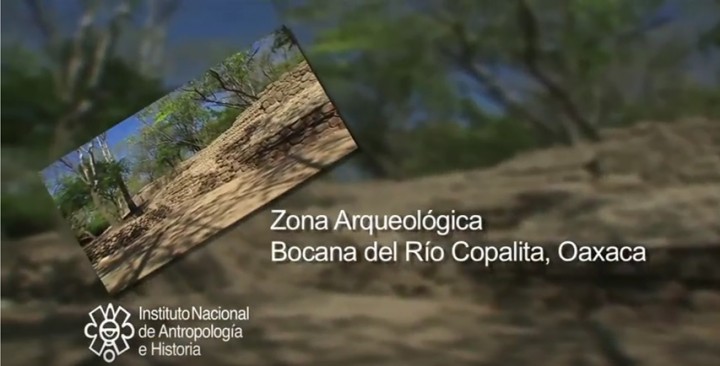
Close to Bahías de Huatulco, this site was a ceremonial center. It is located on the hills near the cliffs of the Oaxaca coast, within the Eco-Archeological Park, a wonderful natural setting.
About the site
The Bocana del Río Copalita site lies six miles west of Santa Cruz Huatulco, in the district of San Pedro Pochutla, Oaxaca. It consists of a central area of 89 acres divided into a low mountainous or hilly region where the first pre-Hispanic settlement was founded, and another of alluvial soil which records the first stage of expansion and grandeur.
Archeological investigation of the site began in 1998, when strategies were proposed to protect and preserve it. The Research and Preservation Project for the Bocana del Río Copalita Archeological Site in Huatulco, Oaxaca has now completed nine seasons of archeological field and laboratory research.
As regards life in Copalita, It is calculated that Bocana del Río Copalita was already a substantial settlement by the Late Preclassic (400 BC to 200 AD), when its population occupied most of the natural elevations next to the sea and the mouth of the Copalita river. The social, religious and political structure of Copalita’s society was developed between the Late Preclassic and the beginning of the Early Classic. Its later complexity can be seen in the site’s lower region.
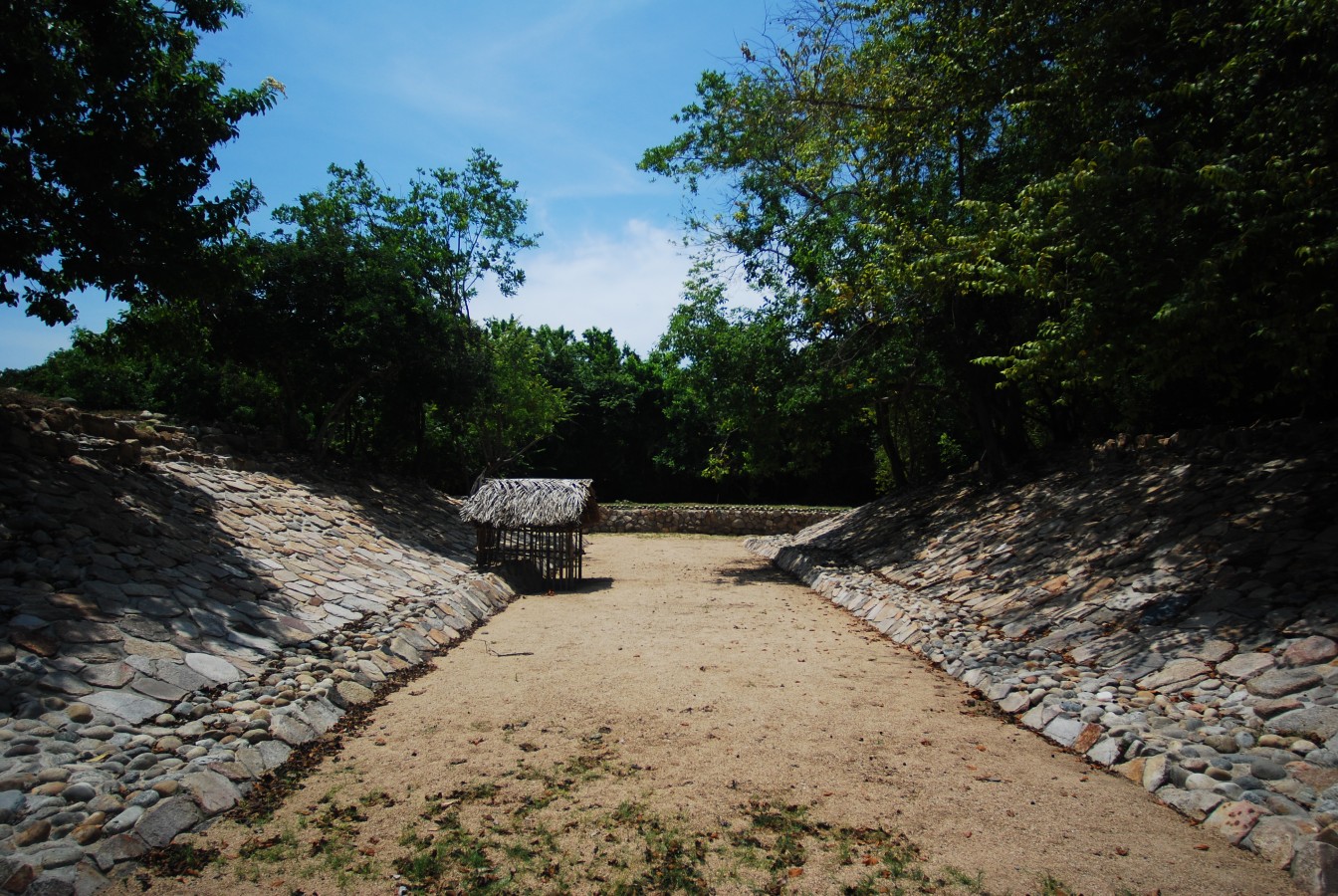
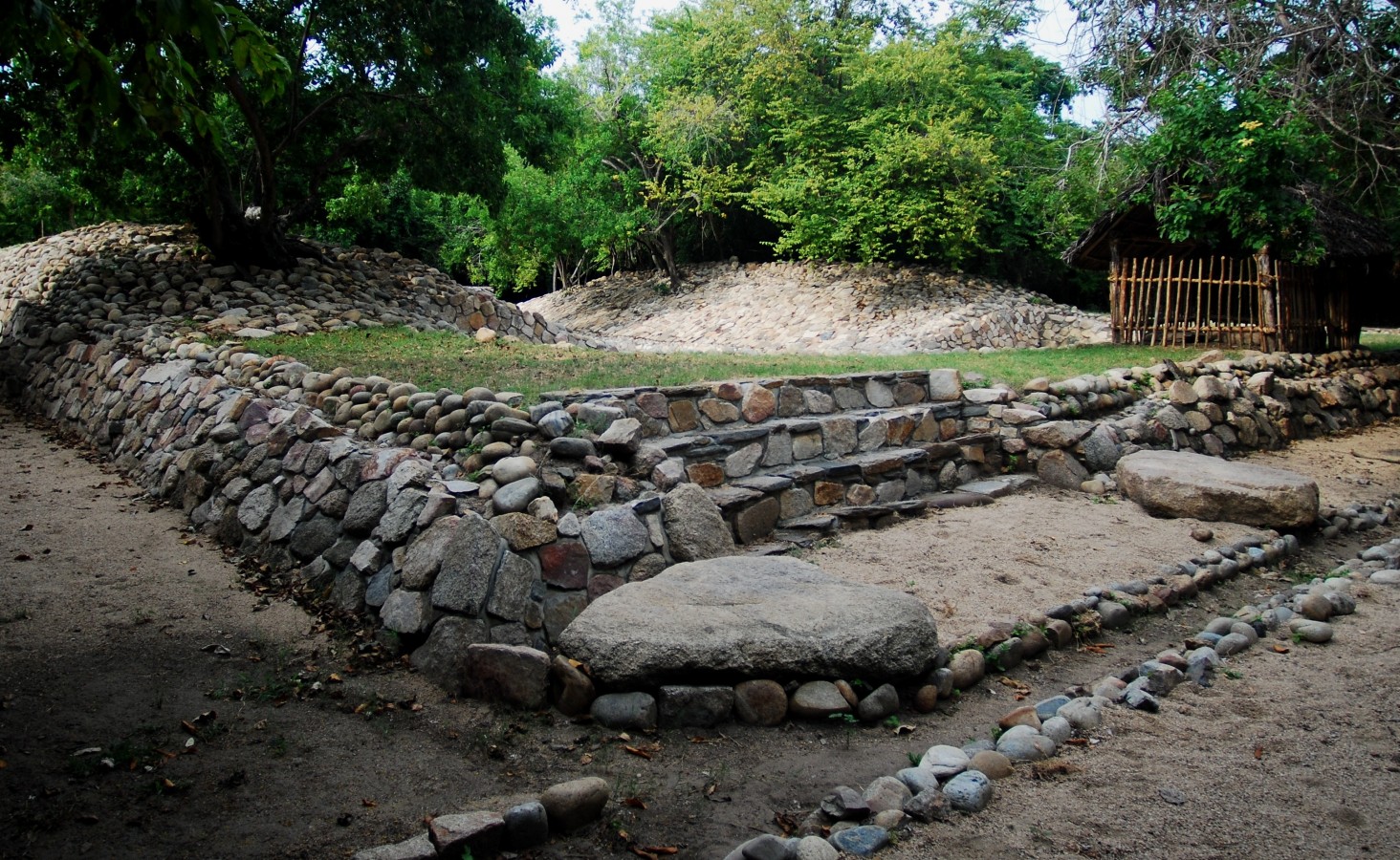
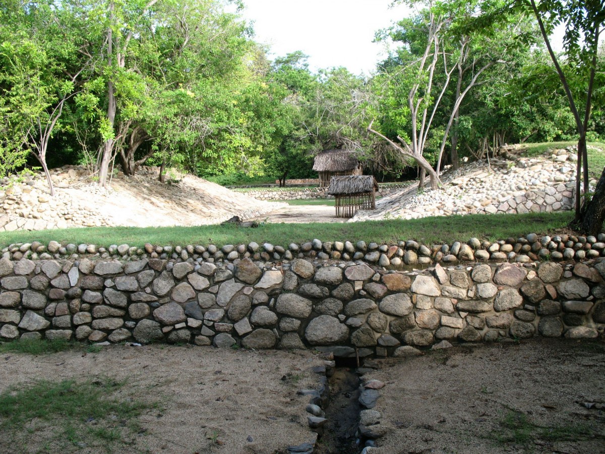
By approximately the end of the Early Classic (600 AD), the site had a plaza surrounded by several buildings and a Mesoamerican ballgame court. Copalita’s growth was tied to its nature as a civic-ceremonial center similar to other important Mesoamerican cities.
This stage of occupation extended into the Middle Late Classic, and we finally see signs of the place’s decline and abandonment in the Postclassic.
The civic and ceremonial structures and greatest concentration of residential terraces are located in the main settlement, which covers approximately 89 acres. As site explorations have concentrated on only some of the structures, there are therefore others which have not been uncovered and whose architectural characteristics are still unknown.
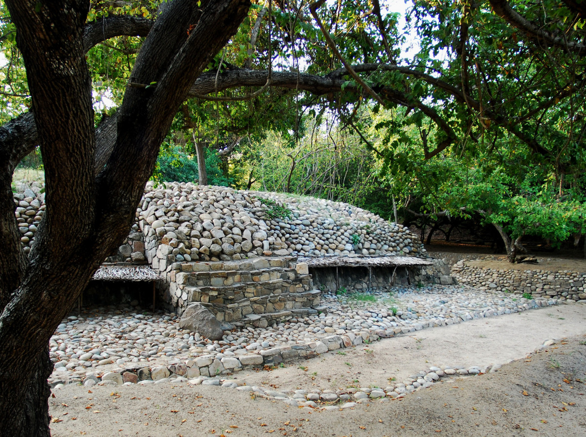
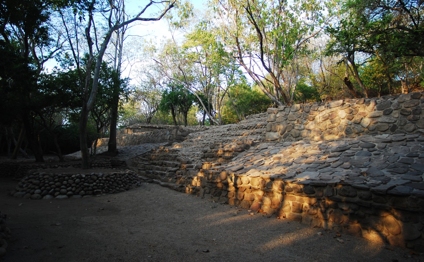
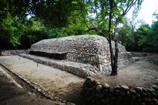
However, a certain outline can be distinguished that suggests a civic and ceremonial space of considerable size, made up of a series of temples, residences for the elite and a ballgame court, as well as terraces and residential units. It is important to mention that the site includes different stages of construction and different periods of occupation, and this is therefore an account of the existing architectural components within the site’s boundaries.
Five civic-ceremonial buildings are located in the zone of alluvial soils. The Acropolis indicates the outline of a plaza that was presumably open on its western side. Structure III (cemetery) lies to the north and Structure I is to the south. Both structures have yet to be excavated, although they do represent the Mesoamerican pattern of spaces of a ceremonial nature associated with the role of the ballcourt, which is located to the southwest of this area.
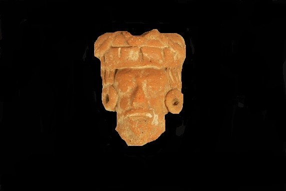
The site museum was inaugurated on October 5, 2010, when the Copalita archeological site was partially opened to the public.
Practical information
Temporarily closed
Tuesday to Sunday from 8:00 to 17:00 hrs
Free entry
Boulevard Copalita-Tangolunda, tramo 15 de las Bahías de Huatulco, Oaxaca. C. P. 70989.
Se localiza en las márgenes del RÍo Copalita, cercano a las Bahías de Huatulco, a 317 km al sureste de la ciudad de Oaxaca.
From the municipality of Santa María Huatulco take the coastal boulevard for 8 km through the area of hotels around Tangolunda Bay until you reach Bocana de Copalita, a small community adjoining the archeological zone. The entrance is 350 m from this bay. It is located within the Copalita Eco Park.
Services
-
01(951) 515 0389
-
This email address is being protected from spambots. You need JavaScript enabled to view it.
Directory
Departamento de Protección y Resguardo de Bienes Culturales del Centro INAH Oaxaca
Manuel Rufino Aguilar Martínez
This email address is being protected from spambots. You need JavaScript enabled to view it.
+52 (951) 513 3346

