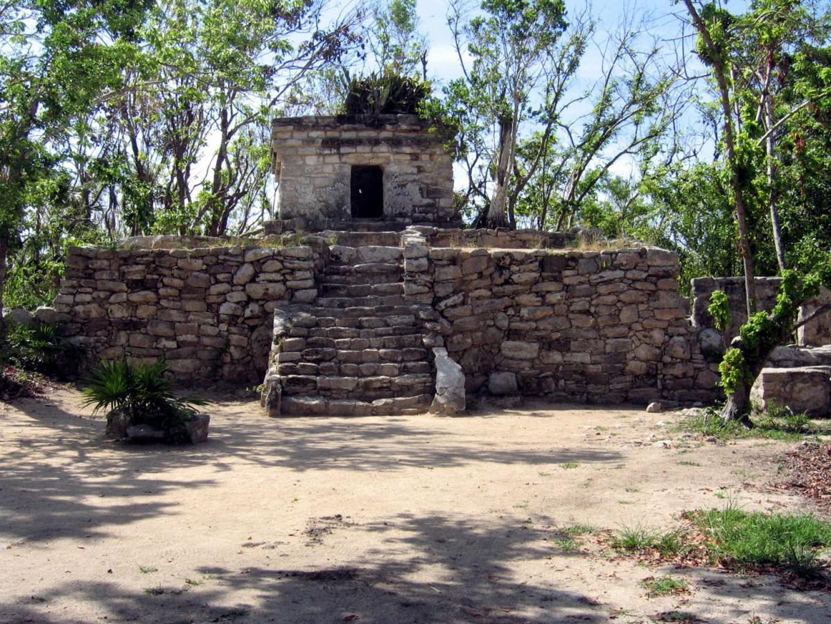
The Maya navigated the rivers, lakes and sea in pre-Hispanic times. Although they only used the coastal waters for trade, the Mayan navigators still needed a good knowledge of the currents, changes in the weather, an understanding of the tides, how to orient themselves and of course the skills to handle a canoe using paddles. These boats were made from a single piece of wood, by hollowing out a tree trunk of a durable, buoyant species. There are graphic representations of the canoes and paddles used in those days in the mural paintings of the Temple of the Warriors at Chichen Itza, on numerous painted vessels, carved from bone and in the pages of the Dresden Codex. Colonial-period sources also provide several references which add details to the picture.
The Maya developed coastal trade intensively during the Postclassic. To do so effectively, they needed certain supporting features, such as havens to shelter in during bad weather, which may have been coves or entrances to lagoons, and markers on the land which could have been used as geographical or territorial reference points. It was also vital to have visual reference points to know where to enter and leave reefs, where to find entrances to lagoons or inland channels which would make it easier or safer to row during sudden bad weather.
Over the years this knowledge of the water enabled the establishment of extensive trading routes for the control, distribution and trade of goods from different regions, and therefore also for the exchange of ideas. From the coast came important products such as salt, dried fish, conch and shells which could be exchanged for the products of other regions such as obsidian, green stone, flint, feathers, cotton blankets, honey and wax.
We know that the Maya had navigated since ancient times, since islands some miles from the coast had been inhabited since the Late Preclassic, from 300 BC to 300 AD. Water transport increased over the years and by the Postclassic there was already a large trading route encircling the Yucatan peninsula, from the Gulf of Mexico to the west and down to Honduras along the east coast of the Caribbean. Sea and river routes were combined with land routes to extend the range of products for exchange.
The port of Polé was an exceptional case, since it became a key point for journeys to and from Cozumel, where the sanctuary of the goddess Ixchel attracted thousands of pilgrims from various places. Without a doubt, the convergence of so many people turned it into an important port for passengers, as well as for the trade and exchange of goods.
This prolific indigenous trading route was curtailed during the colonial period, which radically altered the economic equilibrium and political organization for thousands of coastal and inland inhabitants. Polé even managed to retain its status during colonial times and a simple church was built there in the second half of the sixteenth century. Rather than having its own priest, the church depended on the priest in Cozumel to hold religious services.
Drastic change, including the diseases brought by the Spanish, decimated the population leaving just a few sparsely populated villages. By the seventeenth century the east coast of Quintana Roo was ravaged by numerous pirate attacks and Cozumel was one of the most frequent targets. Polé was not exempt and it suffered several pirate attacks which meant that around 1668, the few remaining inhabitants were transferred inland to Chemax and Boloná in the present-day state of Yucatán.


